



An Ocean Watchdog in Orbit
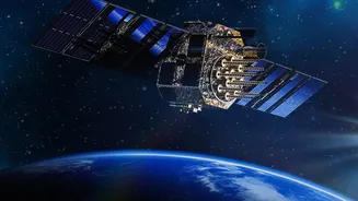
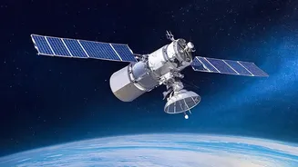
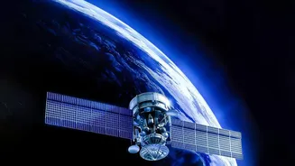
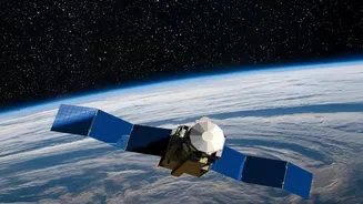
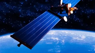
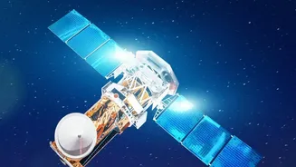
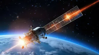
For over two decades, the Indian Space Research Organisation (ISRO) has been operating a specialised fleet of Earth observation satellites dedicated to our oceans. This is the OceanSat series, a lineage of advanced spacecraft starting with OceanSat-1
in 1999 and continuing with its successors, including the latest, OceanSat-3 (also known as EOS-06), launched in 2022. Circling the Earth in a polar orbit at an altitude of over 700 kilometres, these satellites are designed for a singular, crucial purpose: to provide continuous and reliable data about the physical and biological state of the oceans surrounding India. This isn't just science for science's sake; it's a vital national service with profound economic and safety implications for the country's vast coastal population.
Finding Fish From 700 Kilometres Up
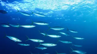
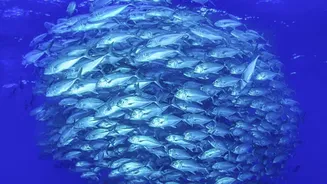
One of the most remarkable applications of the OceanSat series is its ability to guide fishermen to richer fishing grounds. But the satellite doesn’t see fish. Instead, it sees their food. Using an instrument called the Ocean Colour Monitor (OCM), the satellite measures the colour of the seawater. Different colours reveal the concentration of chlorophyll, the pigment in microscopic marine plants called phytoplankton. Since phytoplankton form the base of the marine food chain, high concentrations attract smaller fish, which in turn attract the larger, commercially valuable fish. This data, combined with sea surface temperature readings, is relayed to the Indian National Centre for Ocean Information Services (INCOIS). INCOIS then processes this information to generate daily Potential Fishing Zone (PFZ) advisories, which are broadcast to fishing communities in local languages, complete with coordinates.
A Game Changer for Fishermen
The impact of these PFZ advisories is transformative. For a fisherman, heading out to sea is an expensive gamble, burning precious fuel with no guarantee of a good catch. The advisories dramatically reduce this uncertainty. By heading to the identified zones, fishermen can significantly cut down their search time and fuel costs. A study in Maharashtra found that a single fishing village saved 70,000 litres of diesel in one month thanks to these advisories. This not only boosts their income but also reduces the carbon footprint of the fishing industry. The collaboration between ISRO, which develops the satellite technology, and INCOIS, which disseminates the actionable information, is a powerful example of space technology directly empowering citizens. It turns a blind search into a targeted, efficient, and more profitable profession.
Forecasting Nature's Fury
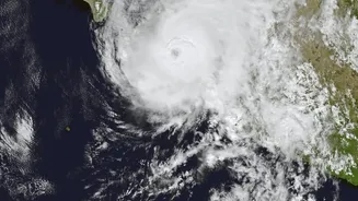
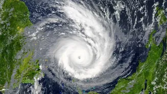
Beyond its role in the fishing industry, the OceanSat series is a critical tool for weather forecasting, especially in tracking cyclones. This is primarily the job of an instrument called a scatterometer. A scatterometer works by bouncing radar pulses off the ocean surface and measuring the return signal. The roughness of the sea surface, caused by wind, alters the radar echo. By analysing these signals, scientists can determine both the speed and direction of winds over the vast, data-sparse oceans. This information is invaluable for meteorologists at the India Meteorological Department (IMD). It provides the crucial early data needed to detect the formation of cyclones, predict their path and intensity, and issue timely warnings to coastal populations, allowing for evacuations and disaster preparedness.
The Technology Behind the Vision
The capabilities of OceanSat are powered by a suite of sophisticated instruments. The Ocean Colour Monitor (OCM) is a multi-spectral camera that measures ocean biology. The Scatterometer (SCAT) is a radar instrument that maps ocean surface winds. Other instruments, like the Sea Surface Temperature Monitor (SSTM), provide data on water temperature, another key variable for both fish habitats and cyclone formation. Together, these instruments provide a comprehensive, multi-dimensional view of the ocean. This data is not just used in isolation but is also fed into numerical weather prediction models, improving the accuracy of forecasts for everything from the onset of the monsoon to the track of a storm system.