




Eyes in the Sky
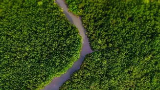
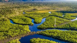
For decades, assessing the health of vast, inaccessible mangrove forests has been a significant challenge. Traditional on-the-ground surveys are costly, time-consuming, and often difficult in muddy, dense terrain. Today, a fleet of advanced Earth-observing
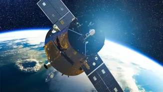
satellites provides a powerful solution. Satellites from agencies like NASA (Landsat) and the European Space Agency (Copernicus Sentinels), as well as commercial providers, are equipped with sophisticated sensors that can monitor these vital coastal ecosystems with remarkable detail and frequency. These technologies allow scientists and conservationists to gather data over huge areas, including remote coastlines, offering a consistent and unbiased view of mangrove health on a global scale.
Seeing More Than Just Green
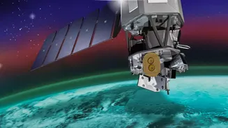
These satellites do more than just take pictures. They carry multispectral and hyperspectral sensors, which capture data from across the electromagnetic spectrum, far beyond what the human eye can see. This allows them to detect subtle but crucial differences in the forest canopy. For example, the specific spectral signatures—or light reflections—can differentiate between mangrove species, identify the density of the foliage, and even detect plant stress before it's visible on the ground. By analysing these spectral signals, researchers can create detailed maps of not just the extent of the mangroves, but their condition. Technologies like LiDAR (Light Detection and Ranging) and radar add another dimension by measuring the physical structure of the forest, including canopy height and biomass, which are critical for estimating carbon storage.
From Pixels to Carbon Tonnes
The raw data from satellites is just the beginning. The next crucial step is turning millions of pixels into meaningful carbon capture metrics. This is achieved through complex algorithms and machine learning models. Scientists combine the satellite data—such as canopy height, density, and species type—with data from field measurements. This 'ground-truthing' helps to calibrate the models, ensuring the satellite-based estimates are accurate. The models can then calculate the Above-Ground Biomass (AGB) of the forest. Since plant biomass is approximately 50% carbon, this figure can be directly translated into the amount of carbon stored in the mangroves. By comparing images over time, scientists can also track changes, quantifying carbon loss from deforestation or carbon gains from restoration efforts.
The Billion-Dollar Metric
This ability to accurately quantify carbon is transforming mangroves from an ecological treasure into a verifiable financial asset. These metrics are the backbone of the burgeoning 'blue carbon' market. Countries can use this data to report on their climate commitments under international agreements. For corporations, investing in mangrove protection and restoration projects can generate high-quality carbon credits to offset their emissions and meet ESG (Environmental, Social, and Governance) goals. This verifiable data provides the transparency and confidence that investors need, channelling private finance into critical conservation work. It allows stakeholders to calculate the economic value of the ecosystem services that healthy mangroves provide, such as protecting coastal communities from storm surges.
The Indian Context
For India, with its extensive 7,500 km coastline and significant mangrove forests like the Sundarbans in West Bengal and Pichavaram in Tamil Nadu, this technology is a game-changer. These ecosystems are not only biodiversity hotspots but also the first line of defence against cyclones for millions of people. Indian organisations like ISRO and the Forest Survey of India already use satellite data to monitor forest cover. By leveraging high-resolution imaging and advanced carbon accounting, India can more effectively manage and protect these crucial assets. It opens up opportunities for states to attract international climate finance for mangrove conservation and restoration, creating green jobs and strengthening coastal resilience while helping the nation meet its climate targets.