
Our Eyes in the Sky
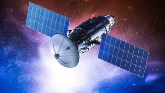
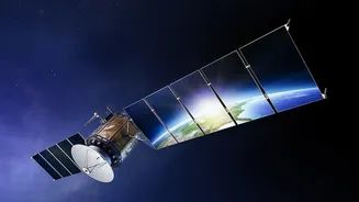
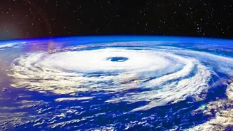
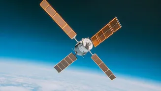
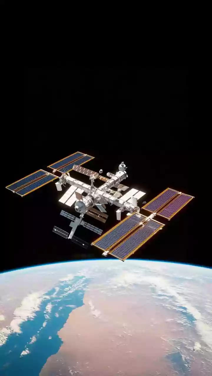
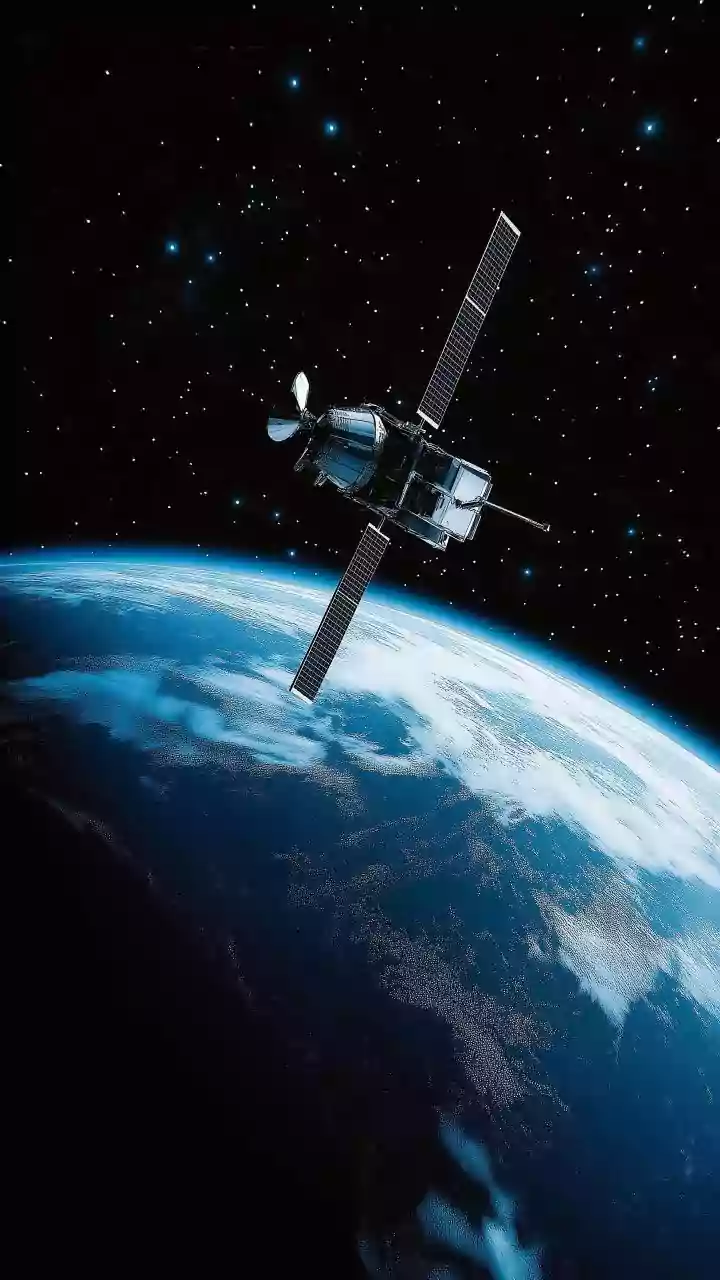
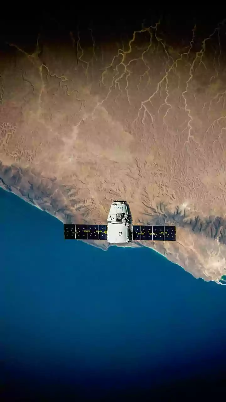
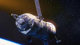
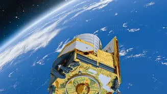
Earth Observation (EO) satellites, pioneered in India by the Indian Space Research Organisation (ISRO), are powerful tools that continuously monitor our planet. These aren't just for weather forecasts; they are equipped with advanced sensors that can
see things the human eye cannot. By capturing images across different light spectrums, satellites like those in the Resourcesat series can assess crop health, soil moisture, and water availability with remarkable precision. This data forms the backbone of several government initiatives managed by agencies like the Mahalanobis National Crop Forecast Centre (MNCFC), which uses ISRO's technology to provide critical agricultural insights.
Precision Farming and Better Yields
Imagine knowing exactly which part of your field needs more fertiliser or is showing early signs of pest infestation. This is the promise of precision agriculture, powered by satellite data. By analysing satellite imagery, experts can create detailed maps of farmland, highlighting variations in crop health. This allows farmers to apply inputs like water, fertilisers, and pesticides exactly where they are needed, rather than covering the entire field. This targeted approach not only increases crop yields but also reduces input costs and minimises environmental impact, making farming more profitable and sustainable. Some studies have shown this can improve productivity by 2 to 5 percent while cutting costs by 5 to 10 percent.
Forecasting Disasters and Securing Food Supply
One of the most significant applications of EO satellites is in disaster management. Programmes like the National Agricultural Drought Assessment and Monitoring System (NADAMS) use satellite data to provide early warnings of drought conditions. By monitoring vegetation health and rainfall patterns, authorities can take timely action to mitigate the impact on farmers and food production. Similarly, after floods or hailstorms, satellite imagery provides a rapid and accurate assessment of the extent of crop damage, which is crucial for organising relief efforts. Projects like Forecasting Agricultural output using Space, Agro-meteorology and Land-based observations (FASAL) use this data to provide pre-harvest production estimates for major crops, helping the government manage food security and price stability.
Transforming Crop Insurance
The Pradhan Mantri Fasal Bima Yojana (PMFBY), India's flagship crop insurance scheme, has been fundamentally transformed by satellite technology. Previously, assessing crop loss for insurance claims was a slow, manual process prone to disputes. Now, satellite data provides objective evidence for large-scale loss assessment. Under the YES-TECH (Yield Estimation System using Technology) initiative, satellite imagery helps in creating 'smart sampling' plans for Crop Cutting Experiments (CCEs), making yield estimations more accurate and representative. This technology enables faster and more transparent claim settlements, ensuring farmers receive financial support when they need it most and reducing grievances.
Smarter Water and Soil Management
Water is a precious and often scarce resource in Indian agriculture. Satellites equipped with Synthetic Aperture Radar (SAR), which can see through clouds, are vital for monitoring soil moisture levels and mapping water bodies. The upcoming NISAR mission, a collaboration between NASA and ISRO, will further enhance this capability, providing detailed insights into soil water content to help farmers optimise irrigation schedules. This data is not just for the farm level; it helps policymakers manage regional water resources, plan canal irrigation, and promote efficient water use on a national scale. Furthermore, new satellite technologies are being explored to estimate soil organic carbon, a key indicator of soil health, helping to promote long-term sustainable farming.