






Decoding GRITSS
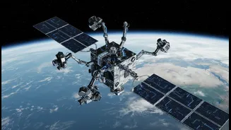
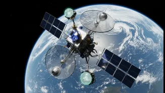
GRITSS, which stands for Geodetic Reference Instrument Transponder for Small Satellites, is a technology demonstration mission recently launched into orbit. At its core, the project is designed to solve a long-standing, millimeter-scale problem for the scientists
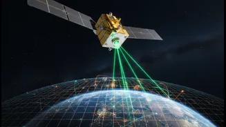
who measure our planet. For decades, different techniques have been used to track Earth's surface and position: Satellite Laser Ranging (SLR), Very Long Baseline Interferometry (VLBI), and the Global Navigation Satellite System (GNSS), which includes the familiar GPS. While incredibly powerful, these systems have operated independently, and tiny errors arise when trying to combine their data. GRITSS acts as a universal translator in space. It is a small satellite, the size of a suitcase, that can be observed by all three systems simultaneously. This creates a common reference point, allowing scientists to stitch the data together seamlessly and eliminate those nagging discrepancies.
The Foundation of Modern Measurement
The goal of GRITSS is to vastly improve the International Terrestrial Reference Frame (ITRF), the fundamental global grid system that underpins virtually all Earth observation. Think of the ITRF as the planet's ultimate blueprint, a highly accurate coordinate system with its origin at the Earth's center of mass. This frame is what allows us to precisely track everything from continental drift and the wobble of the Earth's axis to the location of your phone. An ultra-stable ITRF is essential for monitoring the subtle but critical changes associated with climate change, such as sea-level rise, the melting of ice sheets, and shifts in groundwater resources. By acting as a single, space-based tie point, GRITSS aims to help achieve the scientific community's goal of a reference frame accurate to one millimeter.
A New Benchmark for Navigation
While we often think of GPS as flawless, its accuracy can be degraded by atmospheric disturbances and other factors. For applications requiring centimeter-level precision—like autonomous vehicles, precision agriculture, and infrastructure monitoring—every millimeter of error matters. By refining the ITRF, GRITSS provides a more stable and accurate foundation for all GNSS constellations. This enhanced accuracy trickles down to all positioning, navigation, and timing services, making them more robust and reliable. The technology also involves a geodetic-quality GPS receiver designed for small satellites, paving the way for future low-Earth orbit constellations that can more accurately map the planet's shape and movements.
Sharpening Our View of a Changing Climate
The true power of GRITSS becomes apparent when applied to climate science. Many of the most pressing environmental questions rely on measuring incredibly small changes over vast areas. For example, understanding global sea-level rise requires separating the signal of melting ice from the signal of coastal land subsiding. A more accurate reference frame allows scientists to better differentiate between these phenomena. The data enhanced by GRITSS will improve our ability to monitor the planet's freshwater distribution, track complex ocean-climate cycles like El Niño, and create more reliable models of future climate impacts. In essence, GRITSS allows us to see the big picture with unprecedented clarity, connecting local changes to global trends.
Integrating Data for Smarter Mapping
The mission also has profound implications for mapping and the creation of so-called 'digital twins'—dynamic, 3D virtual models of the physical world. As industries from urban planning to logistics demand more real-time, interactive maps, the need for integrated, multi-sensor data has grown. By enabling the seamless fusion of data from different sources, the principles demonstrated by GRITSS support a future where maps are not static pictures but living models that are continuously updated. This unified approach is part of a larger trend in the geospatial industry toward interoperability, where data from satellites, drones, and ground sensors can be combined to create richer, more actionable intelligence.