




The Perennial Threat of Storm Surges
For India’s coastal communities, the monsoon brings life-giving rain but also the terrifying threat of cyclones. One of the deadliest phenomena associated with these powerful storms is the storm surge—an abnormal rise in sea level caused by the cyclone’s
ferocious winds pushing water onshore. This wall of water can flood coastal areas with devastating speed and force, causing immense destruction to life and property. Traditional weather monitoring has often been hampered by the very conditions it seeks to observe; dense clouds and torrential rain associated with cyclones can blind conventional optical satellites, making it difficult to accurately predict the surge's impact until it's dangerously close.
A Sharper Eye in the Sky
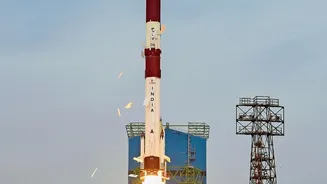
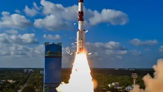
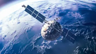
Enter ISRO’s fleet of upgraded Earth observation satellites. Missions like the Radar Imaging Satellite (RISAT) series and the recently launched NASA-ISRO Synthetic Aperture Radar (NISAR) have revolutionised India's disaster management capabilities. Unlike optical satellites that depend on light and clear skies, these spacecraft are equipped with Synthetic Aperture Radar (SAR). SAR is an active remote sensing technology, meaning it sends out its own microwave pulses and reads the signals that bounce back. This gives it an all-weather, day-and-night vision, allowing it to peer directly through thick monsoon clouds, rain, and darkness to see the ocean's surface below.
How Radar 'Sees' a Storm Surge
The key to SAR's effectiveness lies in its ability to measure the roughness of the ocean surface with incredible precision. The powerful winds of a cyclone whip the sea into a frenzy, and the satellite’s radar signals bounce off this turbulent surface in a distinct way. By analysing the backscattered signals, scientists can create high-resolution maps of surface wind speeds and directions, even within the storm's core. This data is critical for understanding a cyclone's intensity and structure. Furthermore, the joint NASA-ISRO NISAR mission, with its dual L-band and S-band frequencies, can detect changes in the water level along the coast with centimetre-level accuracy, providing a direct measurement of the building storm surge.
From Satellite Data to Life-Saving Alerts
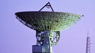
The raw data from these satellites is transmitted to ground stations and processed by agencies like ISRO and the Indian National Centre for Ocean Information Services (INCOIS). INCOIS, based in Hyderabad, runs sophisticated models that integrate this satellite data with tidal patterns and coastal geography to predict the exact location and height of a potential storm surge. This information is then used to generate timely and specific alerts. The upgraded data from SAR satellites means these models are more accurate than ever, reducing false alarms and increasing public trust. INCOIS disseminates these warnings through various channels, including its SAMUDRA app for fishermen and alerts to state disaster management authorities.
More Time, More Lives Saved
The ultimate benefit of this technological leap is time. Earlier and more accurate warnings give authorities a crucial window—often hours or even a full day more—to organize evacuations and move people from low-lying coastal areas to safety. For fishermen at sea, early alerts can mean the difference between returning safely to harbour or being caught in the storm. The detailed inundation maps generated from the satellite data also help disaster response teams pre-position resources and plan post-cyclone relief efforts more effectively. By providing a clearer, more reliable picture of the impending danger, ISRO's radar satellites have become an indispensable tool in safeguarding India's coastal population against one of nature’s most formidable threats.