
Peering Beneath the Lunar Dust
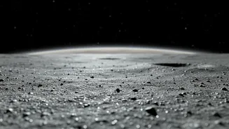
When we look at the Moon, we see a surface scarred by billions of years of meteorite impacts. But the real story of its evolution is hidden just a few centimetres to several metres underground. This is where ISRO’s recent missions, Chandrayaan-2 and Chandrayaan-3,
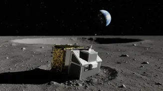
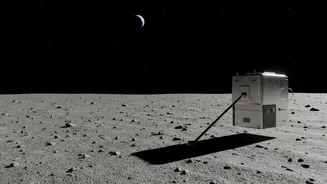
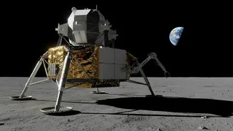
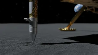
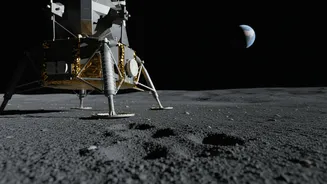
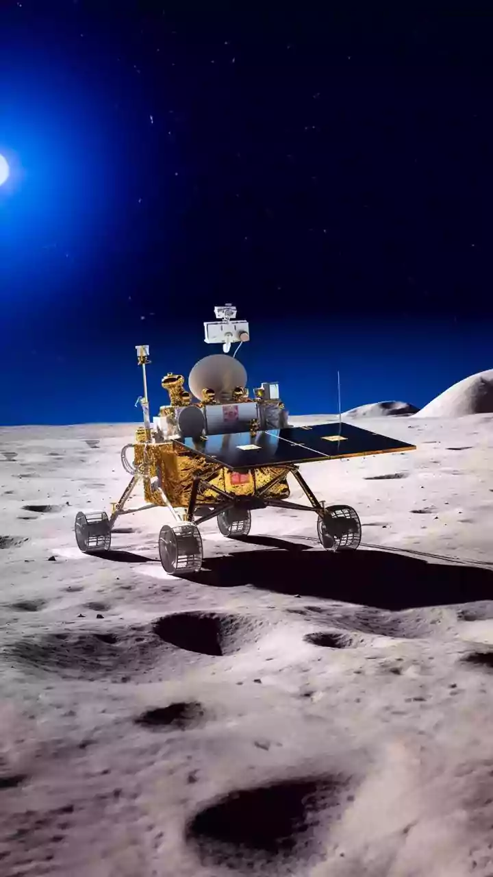
have become indispensable. They carry sophisticated instruments designed to collect 'subsurface data'—information about what lies beneath the visible top layer. One key instrument is the Dual-Frequency Synthetic Aperture Radar (DFSAR) on the Chandrayaan-2 orbiter, which has been circling the Moon since 2019. It acts like a geological X-ray, sending radar waves that penetrate the surface to map buried features. Another is the Chandra’s Surface Thermophysical Experiment (ChaSTE) probe on the Chandrayaan-3 lander, which physically burrowed into the lunar soil to take the first-ever in-situ temperature profile near the south pole. This kind of data provides 'ground truth' that was previously unavailable, moving beyond orbital speculation to direct measurement.
A Surprising Temperature Profile
One of the most stunning early results came from the Chandrayaan-3 lander in August 2023. Its ChaSTE probe measured the temperature from the surface down to a depth of 10 centimetres. Scientists were surprised to find a dramatic temperature drop of 50-60 degrees Celsius over this short distance. While the surface baked at around 60°C, just a few centimetres deeper, the temperature was a frigid -10°C. This revealed that the top layer of lunar regolith, or soil, is an incredibly effective thermal insulator, preventing the Sun’s heat from penetrating deeply. This finding, a first for the lunar south pole, has major implications. It suggests that even in sunlit areas at high latitudes, icy volatiles could be preserved at very shallow depths if they are on slopes facing away from the sun. This expands the potential locations for finding water ice beyond the permanently shadowed craters long considered the primary targets.
Uncovering Buried Ice and Ancient Lava
While ChaSTE probes the topsoil, the Chandrayaan-2 orbiter's DFSAR instrument peers much deeper. It is the first fully-polarimetric radar to study the Moon, using two different frequencies (L-band and S-band) to distinguish between different subsurface materials. This capability has been crucial in the hunt for water ice. By analysing how radar signals scatter back, scientists at ISRO and the Physical Research Laboratory have found strong evidence of subsurface ice in 'doubly shadowed craters' near the south pole—craters that are shielded from both direct sunlight and reflected heat. These regions, with temperatures as low as -248°C, are ideal for preserving ice over geological time. DFSAR's data helps scientists tell the difference between signals caused by rough, rocky terrain and those from ice deposits, a major challenge in previous studies. Beyond ice, the radar also helps map ancient, buried lava flows and the complex layers of ejecta from massive impacts, painting a clearer picture of the Moon’s violent geological past.
A Crucial Piece of the Global Puzzle
ISRO’s data doesn’t just benefit India; it’s a vital contribution to the global scientific community. Space exploration is a collaborative effort, with agencies like NASA, ESA, and ISRO sharing data to build a comprehensive model of the Moon. ISRO has made its Chandrayaan data publicly available in formats compatible with international standards, like NASA's Planetary Data System, ensuring scientists worldwide can use it. This open approach has been praised, and recent developments show the partnership deepening, with NASA inviting ISRO to join its Moon Base programme. By providing the first-ever ground measurements from the lunar south pole and high-resolution radar maps of its subsurface, ISRO is filling critical knowledge gaps. This information is essential for validating and refining global models of lunar evolution, the distribution of resources like water ice, and the processes that have shaped the Moon over eons.