



A New Eye in the Sky: The NISAR Mission
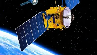
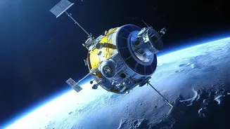
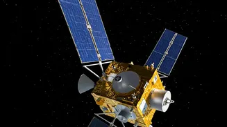
The latest leap forward comes from the operationalisation of data from the NASA-ISRO Synthetic Aperture Radar (NISAR) mission. This joint project is the world's first dual-frequency radar imaging satellite, a significant milestone in global space cooperation.
While India has a long and successful history with remote sensing satellites, NISAR is a game-changer. Launched in July 2025, it is now in its science operations phase, with ISRO recently making its S-band radar data publicly available through its Bhoonidhi portal as of July 2026. This 'integration' refers to the flow of this powerful new data stream into the hands of scientists and disaster management agencies.
Seeing Through Clouds and Darkness
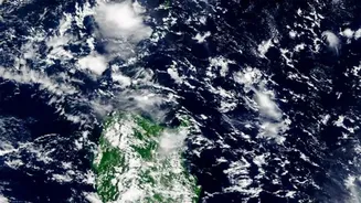
The core of NISAR's power lies in its Synthetic Aperture Radar (SAR) technology. Unlike traditional optical satellites that are effectively blinded by clouds or the dark of night, radar satellites actively send out microwave signals and interpret the returns. This gives them an all-weather, day-and-night observation capability. The NISAR mission is unique because it combines two different radar frequencies: the L-band (from NASA) and the S-band (from ISRO). The L-band can penetrate through dense forest canopies, while the S-band is highly effective at monitoring agricultural areas and soil moisture. This dual-frequency approach provides an unprecedentedly detailed and versatile view of the Earth's surface.
From Hours to Minutes: The Speed Advantage
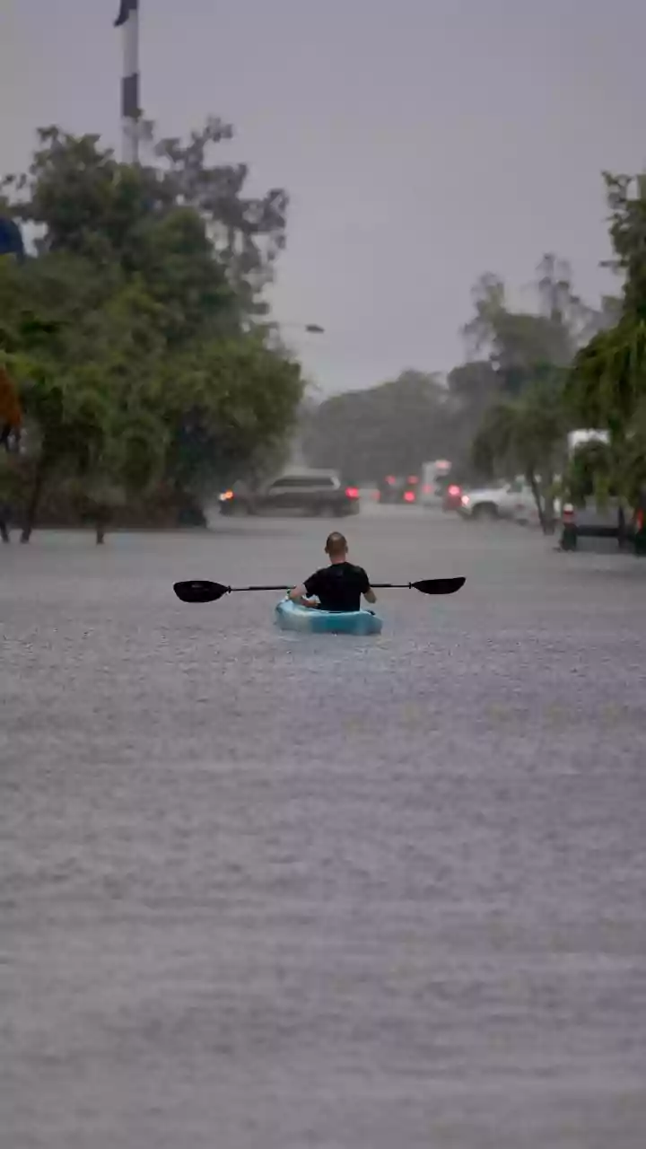
So, how does this boost response times? It comes down to two key factors: rapid revisit and near real-time data processing. NISAR maps nearly the entire planet every 12 days, allowing for the creation of a consistent time-lapse of ground changes. For disaster response, data can be made available within hours. This allows authorities to monitor the subtle ground deformations that can precede earthquakes and landslides, sometimes detecting shifts as small as a centimetre. For floods, the satellite can act as a 'virtual stream gauge,' measuring rising water levels even under vegetation, providing crucial information for downstream communities long before the flood crest arrives. This constant, reliable monitoring dramatically shortens the time between detecting a threat and issuing a public warning.
Beyond Disasters: A Tool for National Progress
The benefits of this advanced radar integration extend far beyond emergency alerts. The high-resolution data is a boon for India’s agricultural sector, enabling precise monitoring of crop health, soil moisture, and irrigation patterns, which can lead to better yields and water management. It will also be used for critical infrastructure monitoring, urban planning, and tracking the retreat of Himalayan glaciers, which is vital for long-term water security. By observing changes in biomass, the data will also provide key insights into deforestation and support environmental conservation efforts. The mission is designed to provide freely available data, empowering researchers, planners, and businesses across the country.