



The Challenge with Yesterday's Forecasts
For decades, weather prediction has relied on a combination of ground-based weather stations, weather balloons, and earlier generations of satellites. While revolutionary in their time, these tools had limitations. Ground stations and balloons provide
excellent data, but only for specific points, leaving vast areas unobserved, especially over oceans. Early satellites could see clouds that had already formed, but they struggled to identify the invisible ingredient essential for rain: water vapour. This meant forecasters were often better at tracking existing storms than predicting where new ones would form with pinpoint accuracy, particularly for smaller, localised rain events common in urban areas.
A New Generation of Eyes in the Sky
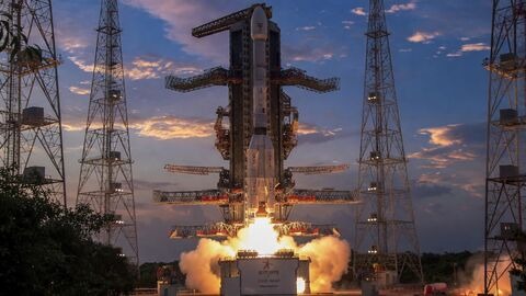
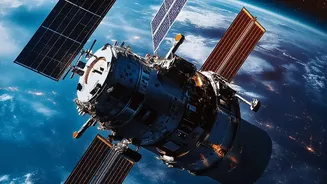
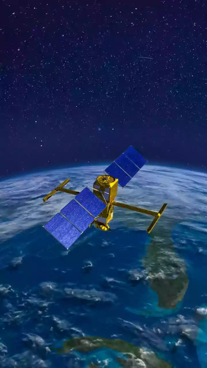
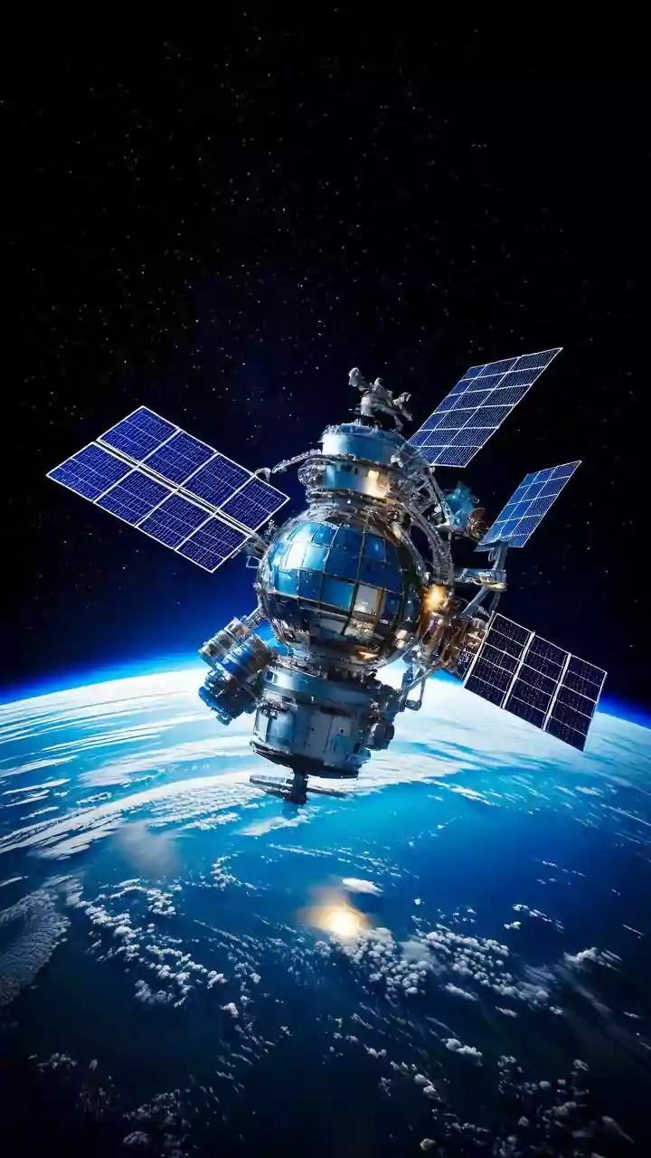
Modern forecasting is powered by advanced satellite systems, such as India's INSAT series (including INSAT-3D and INSAT-3DR) and international counterparts like the GOES and JPSS systems from the US. These aren't just taking simple pictures. They are sophisticated observatories in space. Geostationary satellites hover over one spot, providing constant updates—sometimes as frequently as every 30 seconds over a developing storm—while polar-orbiting satellites scan the entire globe in high detail. This new generation carries instruments that are far more powerful, providing data with unprecedented speed, resolution, and detail.
Decoding the 'Moisture Plume'
The term 'moisture plume' often refers to a meteorological phenomenon known as an atmospheric river. As the name suggests, these are long, narrow corridors in the atmosphere that transport enormous amounts of water vapour from the tropics to other parts of the globe—like rivers in the sky. A single atmospheric river can carry more water than the Amazon River. While some are gentle and bring beneficial rain, stronger ones are responsible for extreme rainfall and flooding events. Identifying where these invisible rivers are and where they're heading is the key to predicting heavy, localised precipitation.
How Satellites See Invisible Water
So how do satellites 'see' water vapour? They use specialised instruments called sounders and advanced imagers that operate in the infrared and microwave spectrums. Instruments like the Cross-track Infrared Sounder (CrIS) and Advanced Technology Microwave Sounder (ATMS) can measure the temperature and moisture content at different layers of the atmosphere, creating a 3D profile. Because different gases absorb and emit radiation in unique ways, these sensors can detect the 'fingerprint' of water vapour, quantifying how much moisture is present long before it condenses into visible clouds. This gives forecasters a crucial head-start.
From Data to a Downpour Prediction
Collecting this data is only the first step. Every day, millions of observations from these satellites are beamed to Earth and fed into some of the world's most powerful supercomputers. Here, complex numerical weather prediction models simulate the physics of the atmosphere. By combining the satellite data on moisture, temperature, and wind with information from ground stations and other sources, these models can project how an atmospheric river will move, when the water vapour will cool and condense, and precisely where the resulting rain is likely to fall. This allows meteorologists to move from a regional 'chance of rain' to a much more precise, city-block-level forecast.
Real-World Impact on Indian Cities
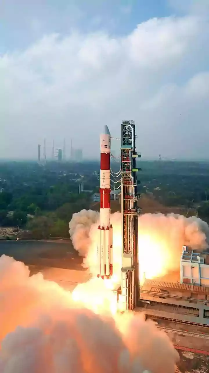
For a country like India, which experiences everything from monsoons to cyclones, this technology is transformative. ISRO's INSAT-3D and INSAT-3DR satellites, for instance, provide crucial weather data every 15 minutes, enhancing the India Meteorological Department's (IMD) ability to issue timely warnings. More accurate rainfall prediction helps in managing urban flood risks, a growing concern in cities like Mumbai and Chennai. It aids farmers who depend on weather forecasts for their livelihoods and allows for better management of water resources in dams and reservoirs. On a daily basis, it simply helps millions of people in dense urban environments plan their commutes and daily activities with greater confidence.