




A View from Above
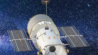
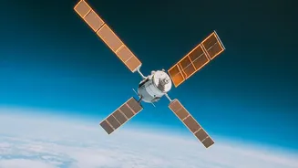
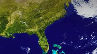
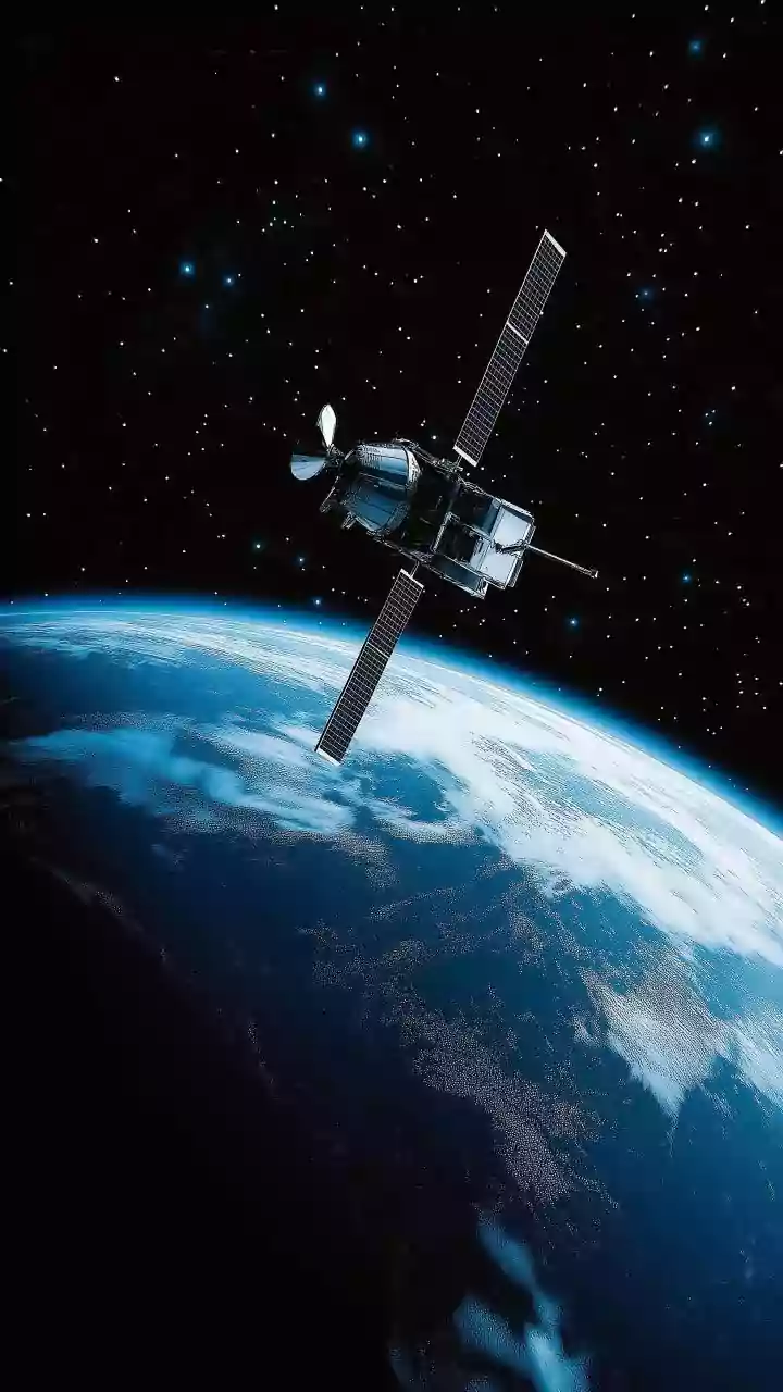
Earth observation satellites, operated by agencies like NASA and the European Space Agency (ESA), are our eyes in the sky. Equipped with advanced sensors, they collect a vast amount of data about our planet's land, oceans, and atmosphere. Unlike ground-based
monitoring, which is limited to specific locations, satellites provide a comprehensive picture of global environmental trends. This long-term record, stretching back decades, is essential for understanding the scale and pace of climate change. Programs like Europe's Copernicus and NASA's Earth Observing System provide freely accessible data to scientists, policymakers, and the public, helping to inform crucial decisions for a more sustainable future.
Monitoring Ice and Oceans
Some of the most dramatic evidence of climate change comes from the polar regions, and satellites are there to capture it. Since the 1990s, a continuous stream of satellite data has provided unquestionable evidence that sea levels are rising. Missions like the Sentinel-6 series measure the height of the ocean with incredible precision, tracking the impact of melting glaciers and ice sheets. Satellites use various techniques, including radar and laser altimetry, to measure not just the area of ice cover but also its thickness, giving scientists a more complete picture of ice loss. These instruments can also monitor ocean temperature and currents, helping researchers understand how the oceans absorb heat and carbon dioxide.
Tracking the World's Forests
Forests are vital carbon sinks, but they are under threat from deforestation. Satellites are a critical tool for monitoring these changes. By comparing images taken over time, scientists can detect both legal and illegal logging operations, often in remote areas that are difficult to access on foot. Advanced radar systems, like those on the joint NASA-ISRO NISAR satellite, can even peer through clouds to track changes on the ground. This data not only helps in the fight against illegal deforestation but also allows researchers to estimate the amount of carbon stored in forests, a key variable in climate models.
Revealing Invisible Pollution
Satellites can see what the human eye cannot. Specialized instruments can detect pollutants in the atmosphere and water. For example, the Sentinel-5P mission is dedicated to monitoring gases like nitrogen dioxide, a major pollutant from traffic and industry, and formaldehyde, an indicator of other chemical reactions in the atmosphere. This data helps identify pollution hotspots and track the effectiveness of air quality regulations. Recent studies have shown that satellite data can be particularly valuable for monitoring fine particulate matter (PM2.5) in areas without ground sensors, helping to protect public health. Satellites can also spot harmful algal blooms and sediment plumes in lakes and oceans, providing early warnings for water managers.
Responding to Natural Disasters
When disaster strikes, satellite imagery is often one of the first resources for responders. Thermal imaging can detect wildfires as they start, while radar satellites can map the extent of flooding even through thick cloud cover. This information is vital for emergency services, helping them to direct resources effectively and assess damage. The International Charter on Space and Major Disasters provides free satellite imagery to countries affected by crises, showcasing a global effort to use space technology for humanitarian aid. As climate change is expected to increase the frequency and intensity of extreme weather events, the role of satellites in disaster response will only become more important.