






Beyond the Shoreline: What is Ocean Observation?
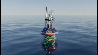
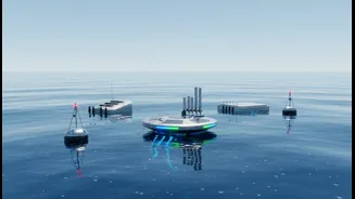
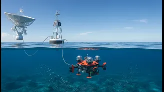
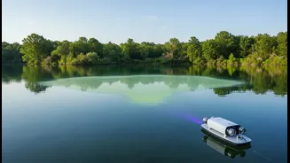
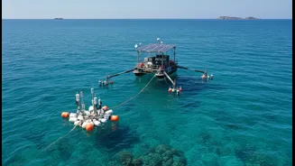
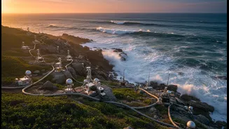
When scientists talk about “ocean observation,” they mean more than just watching the waves. It’s a sophisticated, high-tech effort to measure the pulse of the sea. This involves a vast network of tools: satellites tracking sea surface temperatures from
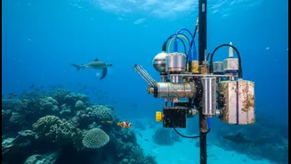
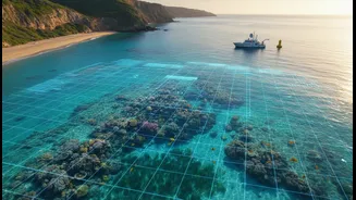
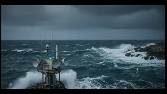
orbit, moored buoys bobbing in the water measuring wave height and currents, underwater gliders sampling water salinity and chemistry, and advanced computer models that put all this information together. This constant stream of data gives us a real-time, in-depth picture of what’s happening beneath the surface, from gradual changes in sea level to the sudden formation of a storm surge. It transforms the ocean from a vast mystery into a dynamic system that we can monitor and, to a degree, predict.
The Bridge from Data to Decisions
The crucial link that scientists have identified is between this raw data and effective coastal planning. Simply put, you cannot protect what you cannot measure. When city planners have precise data on localised sea-level rise, they can make smarter decisions. For example, knowing exactly which low-lying areas in Mumbai or Chennai are most vulnerable to flooding during a high tide combined with a storm surge allows for targeted infrastructure investment. Instead of building generic defences, they can design and place seawalls, restore protective mangroves, or update drainage systems exactly where they will be most effective. This data-driven approach moves coastal management from a reactive, post-disaster response to a proactive strategy of resilience, saving both lives and money.
India’s Coastal Frontline
India’s coastline is a region of immense economic activity and dense population, but it is also on the frontline of the climate crisis. Experts warn that a significant portion of the coast is already experiencing accelerated erosion. Major cities, vital economic hubs, and countless smaller communities face growing threats from more intense cyclones, rising sea levels, and saltwater intrusion into freshwater sources. In states like Kerala, Odisha, and West Bengal, the effects are already being felt, with livelihoods in fishing and agriculture threatened and communities forced to relocate. Recent studies project that average temperatures along the coast could rise significantly by 2040, making the need for robust, evidence-based planning more urgent than ever.
Harnessing India's Scientific Strength
Fortunately, India is not starting from scratch. The country has robust scientific bodies dedicated to this very task. The Indian National Centre for Ocean Information Services (INCOIS) provides critical services, including early warnings for tsunamis and storm surges, as well as forecasts that help everyone from fishermen to shipping companies. Its Potential Fishing Zone advisories, for instance, use satellite data to guide fisherfolk, saving fuel and time. Meanwhile, the National Centre for Coastal Research (NCCR) focuses on monitoring shoreline changes, pollution, and coastal ecosystems, providing the scientific backbone for policy-making. These institutions are vital assets, and strengthening their capacity to gather and disseminate hyper-local data is a key part of the solution.
Protecting People, Not Just Property
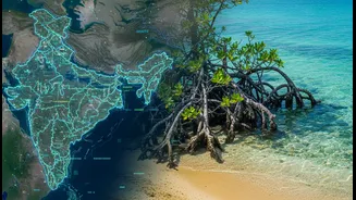
Ultimately, the goal of better ocean observation is to protect people. The data does more than just inform where to build infrastructure; it powers early warning systems that give communities crucial time to prepare and evacuate. Through the SAMUDRA mobile app, INCOIS provides real-time alerts and forecasts directly to fishermen and coastal residents in multiple languages. Furthermore, understanding ocean currents and water quality helps protect vital marine ecosystems like mangroves and coral reefs, which act as natural buffers against storms and support the livelihoods of millions. By linking advanced science to community-level action, India can build a more secure and sustainable future for its coastal populations.