








What Makes This Satellite Different?
The Indian Space Research Organisation (ISRO) is scheduled to launch the Earth Observation Satellite EOS-05. Unlike most of India's previous Earth-imaging satellites, which operate in Low Earth Orbit (LEO) and pass over a location only periodically, EOS-05 is designed
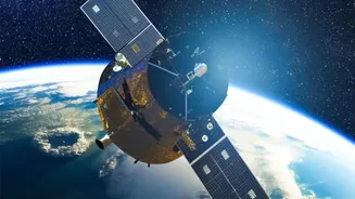
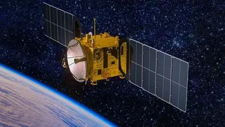
for a geostationary orbit. Positioned at an altitude of approximately 36,000 kilometres, it will match the Earth's rotation. This allows it to hover over a fixed point on the ground, enabling continuous, real-time monitoring of the Indian subcontinent and its surrounding regions. Most of ISRO's Cartosat and Risat series of imaging satellites are in LEO, which is between 60 km and 2,000 km, meaning they can take days to revisit a specific location.
A Game-Changer for National Security
This capability for persistent surveillance is a significant leap forward for India's national security. The satellite, also known as Gisat-1A, will provide 24/7 vigilance over India's borders with neighbours like China and Pakistan. Security agencies will be able to monitor troop movements, track strategic assets, and observe developing situations in conflict zones without the time gaps inherent in using LEO satellites. The satellite's ability to provide near-real-time imagery is invaluable for strategic observation and intelligence gathering. It can image a selected field every five minutes and the entire Indian landmass every 30 minutes, a capability that transforms situational awareness.
More Than Just Military Use
While its strategic applications are profound, the benefits of EOS-05 extend to civilian uses as well. Its continuous observation is ideal for monitoring natural disasters as they unfold, such as cyclones, floods, and forest fires. This allows for quicker and more effective disaster management and response. The satellite will also support applications in agriculture by monitoring crop health and environmental assessment by tracking changes in land and water resources. The spacecraft is equipped with multispectral and hyperspectral imagers, including a camera with a 42-metre spatial resolution, which will be the highest resolution camera ever placed in geostationary orbit.
A Second Chance at a Key Milestone
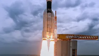
The upcoming launch aboard the GSLV-F17 rocket is also a mission of redemption for ISRO. EOS-05 is a replacement for the nearly identical Gisat-1 (also called EOS-03), which was lost during a launch failure in August 2021. A technical issue with the cryogenic upper stage of the GSLV rocket prevented the satellite from reaching its intended orbit. A successful deployment of EOS-05 will not only fulfill the original mission's objective but also restore confidence in the GSLV launch vehicle. It will place India in an elite group of nations that operate their own geostationary imaging satellites, bolstering the country's strategic autonomy in space.