



A New Watcher in the Sky
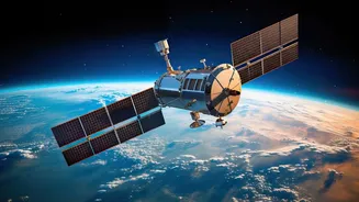
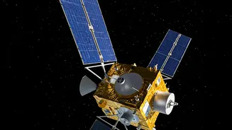
EOS-05, also known as GISAT-1A, is a sophisticated Earth observation satellite developed by the Indian Space Research Organisation (ISRO). Unlike many other satellites that orbit the Earth from pole to pole at low altitudes, EOS-05 is designed for a geosynchronous
orbit. This means it will be positioned approximately 36,000 kilometres above the equator, staying largely fixed over the Indian subcontinent. This high-altitude, stationary viewpoint is its superpower. While low-orbit satellites get periodic snapshots of a location, EOS-05 can provide near-continuous observation, imaging the entire country every half-hour and priority areas in as little as five minutes. This frequent imaging capability is crucial for tracking rapidly developing events like cyclones and flash floods.
Predicting Cyclones with Precision
For a country with a 7,500-kilometre coastline, early and accurate cyclone warnings are a matter of life and death. Satellites are the first line of defence, tracking storm formation over the vast, data-scarce expanses of the Arabian Sea and Bay of Bengal. ISRO's existing constellation, including the INSAT and Oceansat series, already provides vital data on cloud formation, storm intensity, and sea surface temperature. EOS-05 will significantly enhance this capability. By providing frequent, high-resolution imagery, it can help meteorologists at the India Meteorological Department (IMD) monitor a storm's evolution more closely. This leads to more accurate predictions of a cyclone's track and intensity, providing disaster management agencies with critical extra hours or even days to plan and execute mass evacuations, saving countless lives.
Mapping Floods and Landslides
During monsoon season, floods and landslides are a recurring threat across India. When disaster strikes, one of the biggest challenges for first responders is understanding the scale of the crisis. Which areas are worst affected? Where are people stranded? Which roads and bridges are cut off? This is where satellite data becomes indispensable. While satellites with Synthetic Aperture Radar (SAR) can see through the dense cloud cover typical of floods, EOS-05's frequent imaging will provide a clear picture of the landscape before and after the clouds clear. It can help create near real-time inundation maps, showing the exact extent of floodwaters. This information, processed by agencies like the National Remote Sensing Centre (NRSC), is transformed into actionable intelligence that guides rescue boats, directs relief supplies, and helps in assessing damage to crops and infrastructure.
From Data to Action on the Ground
A satellite, no matter how advanced, is only as effective as the system it supports. The true power of EOS-05 lies in how its data is integrated into India's robust disaster management framework. Raw satellite images are beamed down to ISRO's ground stations, where agencies like the NRSC process and analyse them. This processed information is then channelled through platforms like the National Database for Emergency Management (NDEM) to the National Disaster Management Authority (NDMA) and its state-level counterparts. This seamless pipeline ensures that the 'eyes in the sky' are directly connected to the hands on the ground. It allows a district collector in a flood-prone area or a response team leader during a cyclone to make informed, data-driven decisions that ultimately protect communities and accelerate recovery efforts.