








More Than a Political Club
The BRICS group, a coalition of major emerging economies, has expanded its agenda far beyond trade and politics. A key area of growing collaboration is space technology, but not in the sense of a competitive space race. Instead, the focus is on practical,
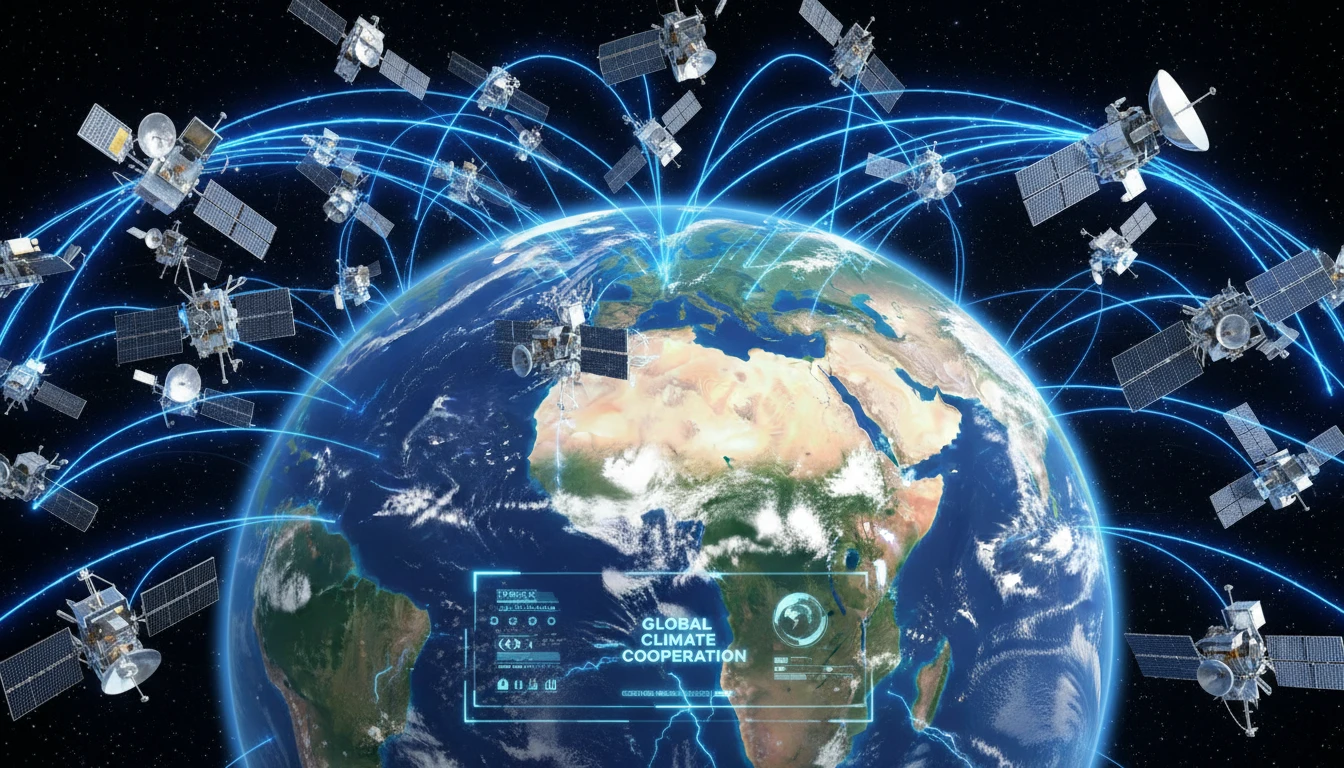
cooperative applications that serve the collective public good. In late June 2026, under India's BRICS chairship, the heads of space agencies from member nations met in Bengaluru. The meeting highlighted a shift in space diplomacy, focusing on leveraging shared technology for tangible benefits on the ground. This cooperative spirit is best exemplified by the BRICS Remote Sensing Satellite Constellation, an initiative that puts human welfare at the forefront of space activities. Discussions at the summit also progressed on forming a BRICS Space Council to create a more structured framework for these joint efforts.
What Is Remote Sensing?
At its heart, remote sensing is the science of gathering information about the Earth's surface from a distance, primarily using satellites. Think of it as taking a highly detailed photograph or scan of the planet from orbit. These satellites are equipped with advanced sensors that can capture data across different light spectrums, far beyond what the human eye can see. This allows scientists and governments to monitor everything from forest cover and water levels to urban sprawl and atmospheric changes. By analyzing this data, they can track environmental shifts, assess the health of crops, and map the extent of a natural disaster in near-real time. It is a powerful tool for understanding and managing our planet's resources and challenges.
A 'Virtual Constellation' for All
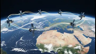
The centrepiece of this collaboration is the BRICS Remote Sensing Satellite Constellation. Signed into agreement in 2021, it is a 'virtual' constellation. This means the member countries did not launch new satellites together; instead, they agreed to share data from their existing ones. This clever arrangement pools the resources of several national space programs, including satellites from India (Resourcesat series), China (Gaofen series), Russia (Kanopus-V), and Brazil (in partnership with China). By sharing data, the member nations get a more comprehensive and frequently updated view of the Earth's surface than any single country could achieve alone. This data-sharing mechanism is now being expanded to include the bloc's newer members, such as Egypt, Iran, and the UAE, further strengthening its capabilities.
From Satellite Data to Public Good
This is where the strong public-interest angle comes into play. The data shared through the constellation is directly used to tackle pressing challenges that affect millions of lives. For disaster management, satellite imagery helps authorities monitor floods, track cyclones, and assess the damage caused by earthquakes and wildfires, enabling faster and more targeted relief efforts. In agriculture, the data is invaluable for monitoring crop health, predicting yields, and managing water resources, which is crucial for ensuring food security for a massive combined population. This cooperation also extends to environmental protection and climate change, allowing for better monitoring of deforestation, melting glaciers, and other critical environmental indicators across the vast territories of the BRICS nations.
Why It Matters for India
For India, this collaboration is a significant strategic and developmental win. By hosting the recent space agency summit and proposing a broader 'BRICS Space Economy', India is cementing its role as a leader in South-South cooperation and peaceful space applications. The initiative provides a major boost to India's domestic space industry, including a thriving ecosystem of private startups ('NewSpace'), by creating new opportunities for innovation and partnership. Moreover, gaining access to a wider pool of satellite data enhances ISRO's already robust capabilities in using remote sensing for national priorities, from improving agricultural productivity to bolstering its highly regarded disaster management programs. It's a form of space diplomacy that delivers direct benefits to the nation and its citizens.