






Eyes in the Sky
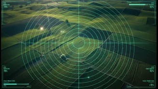
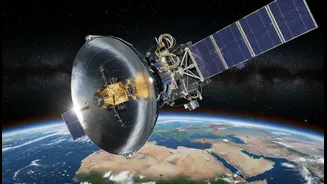
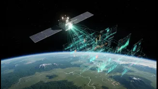
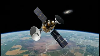
At its core, remote sensing is the science of gathering information about our planet from a distance. This is primarily done using sensors on satellites, aircraft, or drones that detect and measure radiation reflected or emitted from the Earth's surface.
Think of it as taking a highly detailed photograph, but one that can capture information far beyond what the human eye can see, such as thermal heat, vegetation health, and atmospheric chemical composition. This technology allows scientists, governments, and companies to monitor vast areas of the globe consistently and accurately, without ever having to be physically present.
From Space Data to Ground-Level Solutions
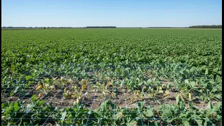
The term 'space sustainability' often brings to mind the challenge of orbital debris, but a crucial part of the conversation is about using space assets to ensure sustainability on the ground. By providing a continuous stream of data, remote sensing satellites are fundamental tools for tackling some of our biggest challenges. This data helps city planners monitor urban sprawl, identify optimal sites for new infrastructure, and manage green spaces. In agriculture, satellite imagery helps farmers monitor crop health, optimise irrigation, and increase yields. For disaster management, it provides a near-real-time view of floods, wildfires, and other crises, enabling faster and more effective response efforts.
The Power of Global Partnership
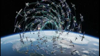
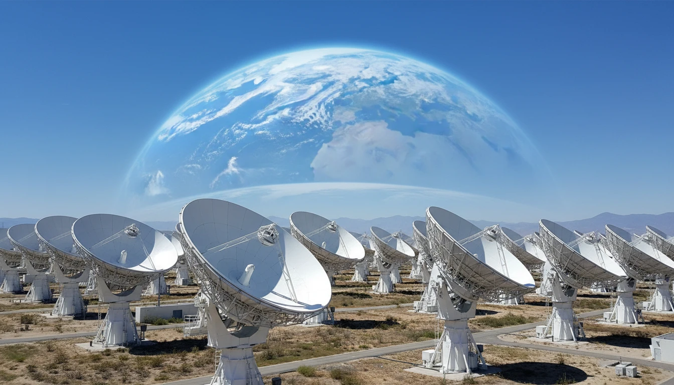
No single nation has the resources to monitor the entire planet alone. Recognising this, international cooperation has become essential. Space agencies like the European Space Agency (ESA) and NASA, along with a growing number of countries, are engaging in data-sharing agreements. Initiatives like the Committee on Earth Observing Satellites (CEOS) work to coordinate missions and ensure that data products are compatible, maximising their usefulness. This collaboration allows for a more complete and robust understanding of global systems, from climate patterns to resource distribution. By sharing data, nations can benefit from each other's research, foster scientific advancement, and build a collective approach to global challenges.
India’s Focus on Societal Benefit
India, through the Indian Space Research Organisation (ISRO), has long been a pioneer in using space technology for national development. From its early days, the Indian remote sensing programme was designed with the specific goal of applying space tech to solve real-world problems. ISRO's constellation of satellites, one of the largest civilian remote sensing systems in the world, provides crucial data for a vast array of applications. This includes everything from forecasting crop yields and monitoring drought conditions to mapping water resources for rural communities and aiding urban planning through initiatives like the National Urban Information System. This focus has made satellite data a key component of governance and developmental planning across the country.
Challenges on the Horizon
While the benefits are immense, the expanding use of remote sensing data is not without its challenges. The sheer volume of data being generated requires sophisticated analysis tools, often powered by AI, to be useful. Furthermore, ensuring that this data is accessible and usable for non-specialists remains a significant barrier. There are also complex issues around data sharing, privacy, and security, as the same technology used to monitor crop health can also have military applications. As more private companies enter the space sector, establishing clear international norms and regulations for data collection and sharing is becoming increasingly urgent to ensure the information is used responsibly and equitably.