


A World Under Threat
The Sundarbans, the world's largest mangrove forest and a UNESCO World Heritage site, is a vital buffer for millions against cyclones and storms. But this unique ecosystem, straddling India and Bangladesh, is facing an existential crisis. Coastal erosion,
driven by rising sea levels and a reduction in sediment flow from upstream rivers, is relentlessly eating away at its islands. Some studies indicate that the sea level in the Sundarbans is rising more than twice as fast as the global average. Islands like Ghoramara have shrunk dramatically, losing significant landmass in just a few decades. This erosion not only displaces communities but also destroys critical habitats for endangered species, including the Royal Bengal Tiger, and increases the salinity of water and soil, threatening agriculture and freshwater fish.
The Challenge of Measurement
Understanding the scale and speed of this erosion has traditionally been a slow process. Scientists have relied on satellite imagery and periodic field surveys to map changes over months or years. While valuable, this approach provides snapshots in time rather than a continuous, dynamic picture. The forces at play—tidal patterns, wave energy, water currents, and land subsidence—are complex and constantly changing. Tracking these variables with enough precision to be useful for forecasting or planning protective measures has been a significant challenge. Some analyses show erosion rates as high as 15 metres per year in certain areas, but linking this directly to specific causes has been difficult without more granular data.
Enter Real-Time Telemetry
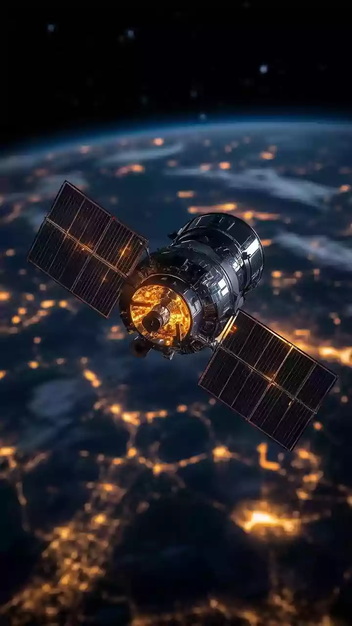
This is where real-time telemetry comes in. The technology involves deploying a network of advanced sensors at strategic locations across the delta. These sensors are designed to measure a host of environmental parameters: water levels, wave height, current speed and direction, salinity, and sediment concentration. Unlike previous methods, these instruments transmit their data wirelessly and in real time to a central server. This concept is similar to systems used for tsunami early warnings, providing an uninterrupted flow of information. This constant monitoring allows scientists and authorities to observe the immediate effects of a storm surge, track the daily impact of tides, and build a highly detailed model of the delta's hydrodynamics.
Turning Data into Defence
The crucial data gathered from these telemetry systems is more than just academic. For officials, it provides the basis for an effective early-warning system for coastal communities, giving them vital hours or days to prepare for floods and storm surges. For engineers, the data is essential for designing and positioning coastal defences, such as mangrove regeneration projects or improved embankments. Knowing precisely where erosion is most aggressive and what forces are driving it allows for more targeted and efficient use of resources. For instance, data showing high wave energy in a particular channel could prompt the planting of specific, resilient mangrove species as a 'bio-shield' to absorb the impact.
The Future of the Forest
While technology offers a powerful new tool, it is not a silver bullet. The threats facing the Sundarbans are immense, linked to global climate change and regional human activity. Recent studies show that up to 15% of the forest has lost its ability to recover from environmental stress over the last quarter-century. The National Green Tribunal has recently called for a more comprehensive, long-term strategy, noting that ad-hoc measures are insufficient to protect the fast-eroding islands. The data from real-time telemetry is a critical component of this strategy, empowering policymakers to move from reactive measures to proactive, data-driven conservation. It represents a crucial step in the ongoing battle to preserve this irreplaceable natural wonder and the millions of lives that depend on it.