


The Allure and the Altitude
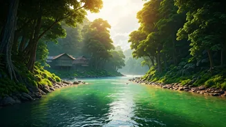
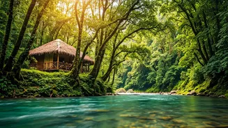
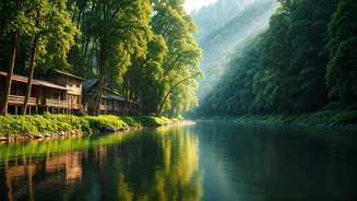
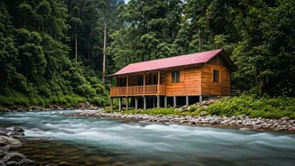
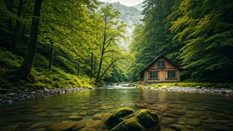
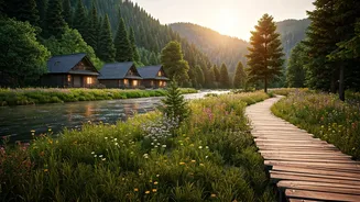
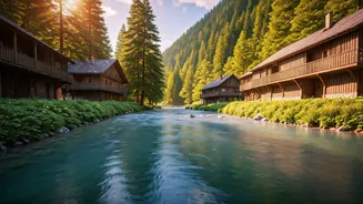
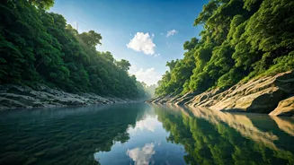
Imagine waking up to the sound of the Siang River, its turquoise waters carving a path through lush green mountains. This is the daily reality in many of Arunachal Pradesh’s riverside villages. From the serene banks near Pasighat to the hidden hamlets
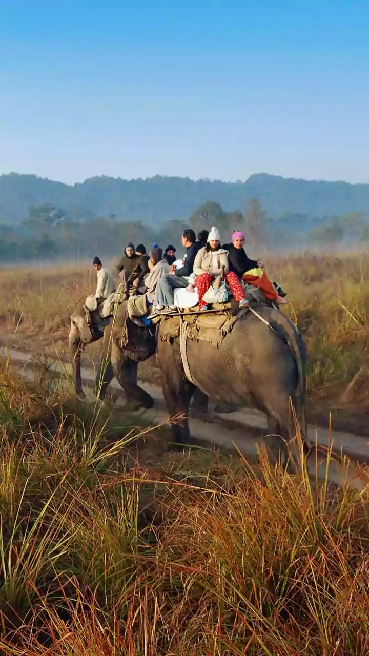
along the tributaries of the Brahmaputra, the state offers a journey back in time. Travellers are drawn to the promise of authentic experiences: living in traditional bamboo houses, learning from indigenous communities like the Adi, Apatani, and Nyishi, and trekking through landscapes untouched by mass tourism. However, this remote paradise is also a land of extremes. The same rivers that sustain life can become formidable forces during the monsoon season. Flash floods, landslides, and washed-out trails are not just inconveniences; they are serious risks for the unprepared.
Beyond the Digital Compass
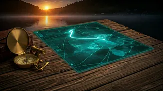
In a world dominated by Google Maps and GPS, we assume every corner of the earth is charted. But standard digital maps often fail in regions like Arunachal. They might show a road, but they won't tell you if it's prone to landslides in July. They can pinpoint a village, but they can't show you the safe evacuation route the villagers have used for generations. This is where crowdsourced safety maps come in. These are not your typical tourist maps. Instead, they are powerful repositories of local, generational knowledge, created by and for the community. Spearheaded by NGOs and community leaders, these initiatives empower villagers to document their own environment, marking hazards and safe zones with a detail that no satellite ever could.
The Wisdom of the Village
So, what exactly is on these maps? They are a blend of ancestral wisdom and modern technology. During workshops, village elders, farmers, and women—often the primary keepers of environmental knowledge—collaborate to map their surroundings. They identify critical information that a typical tourist map would miss entirely. This includes marking historical high-water lines from previous floods, pointing out streams that are safe to drink from, identifying patches of forest with edible plants, and, most importantly, charting the safest paths to higher ground. This information is then often digitised, creating a resource that can be used for disaster planning and, for the savvy traveller, for safer exploration.
How Travellers Can 'Use' These Maps
You probably won’t find an app called 'Arunachal Safety Maps' on your phone’s app store just yet. Accessing this 'map' is less about technology and more about human connection. The real value for a traveller lies in understanding that this hyper-local knowledge exists and learning how to tap into it. The first step is to travel responsibly by hiring local guides. A knowledgeable guide from the area is a walking, talking safety map. They know the weather patterns, the trail conditions, and the community's pulse. Secondly, opt for community-run homestays. Your hosts are not just providing a bed; they are your link to the village's collective wisdom. Before embarking on a trek, speak with them. Ask about the route, the weather, and any recent warnings. They are your best and most current source of information. Finally, respect the environment’s power. If a local guide or village elder advises against a certain trail, listen. Their advice is based on a lifetime of experience, not a weather app's prediction.