







The Rule of Thumb: El Niño's Drying Effect
For decades, the prevailing wisdom has been clear: when El Niño arrives, the Indian monsoon suffers. El Niño is a climate pattern characterized by the unusual warming of surface waters in the central and eastern Pacific Ocean. This warming disrupts global
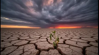
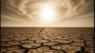
atmospheric circulation, including the Walker Circulation which is crucial for our monsoon. Typically, this shift in the Pacific pulls moisture away from the Indian subcontinent, weakening the rain-bearing monsoon winds. Historically, this link has been strong, with about half of all El Niño years coinciding with drought conditions in India. This connection makes the onset of an El Niño a cause for concern for agriculture, water resources, and the economy at large.
The Exceptions That Prove the Rule is Not Absolute
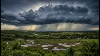
Despite the strong correlation, the answer to whether heavy rain can occur is a surprising yes. History is dotted with years that defied expectations. The most famous example is 1997. A powerful El Niño was in full swing, and forecasts pointed towards a severe drought. Yet, India received above-average rainfall. Conversely, the moderate El Niño of 2002 resulted in one of the country's worst droughts. This shows that the strength of an El Niño event does not perfectly predict the outcome of the monsoon. Clearly, other forces are at play, capable of either amplifying El Niño's drying effect or completely overriding it.
Meet the IOD: The Indian Ocean's Counter-Punch
One of the most significant factors is the Indian Ocean Dipole (IOD), often called India's own El Niño. The IOD relates to the difference in sea surface temperatures between the western Indian Ocean (Arabian Sea) and the eastern Indian Ocean. When the IOD is in a 'positive' phase, the Arabian Sea is warmer than average. This increases evaporation and moisture supply directly to the Indian mainland, strengthening the monsoon. A strong positive IOD can effectively counteract the negative influence of an El Niño. This is exactly what happened in 1997, when a positive IOD saved the monsoon. Conversely, a 'negative' IOD can worsen drought conditions when it occurs alongside an El Niño.
Not All El Niños Are Created Equal
Scientists also distinguish between different types of El Niño events, which have varied impacts. A classic El Niño involves warming in the Eastern Pacific. However, in recent decades, another type has become more frequent: El Niño Modoki, characterized by warming in the central Pacific. The impact of El Niño Modoki on the Indian monsoon is less consistent and still a subject of research. Some studies suggest it can lead to relatively higher rainfall over the Indian subcontinent compared to traditional El Niño periods. The specific location of the Pacific warming is critical in determining how atmospheric patterns will shift and whether India's monsoon will be severely affected.
The New Reality: Climate Change and Intense Rain
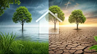
Overlaying all these natural cycles is the undeniable influence of global warming. Climate change is altering the fundamental character of the monsoon. A warmer atmosphere can hold more moisture. This means that while El Niño might reduce the total number of rainy days, when it does rain, the downpours can be far more intense and erratic. We are witnessing a shift from steady, prolonged rainfall to short, extreme bursts, capable of causing flash floods even in a year that is technically in a rainfall deficit. Recent events, like Mumbai receiving record July rainfall during an El Niño, highlight this new paradigm where global warming and El Niño's effects can no longer be seen in isolation.