




The Paradox of Petabytes
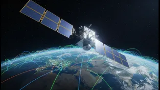
Earth-observing satellites are relentless data collectors. Every day, they beam down terabytes of information, documenting everything from shrinking glaciers and sprawling cities to the health of our forests and oceans. NASA's data archive is already
immense, containing petabytes of information gathered over decades. This treasure trove holds the key to understanding and responding to climate change, but its sheer volume creates a significant bottleneck. Researchers have long faced the daunting task of sifting through this digital deluge to find relevant insights. By the time a useful pattern is identified, the window for action may have already closed. This paradox—being rich in data but poor in timely intelligence—is precisely the problem NASA’s new AI initiative is designed to solve.
Enter Prithvi: An AI for Earth
In partnership with technology giant IBM, NASA has developed a series of powerful AI systems known as foundation models. The flagship of this project is named 'Prithvi', the Sanskrit word for Earth. Unlike specialized AIs trained for a single task, Prithvi is a 'foundation model' trained on a vast, diverse library of NASA's satellite imagery. By processing years of data from the Harmonized Landsat and Sentinel-2 missions, the AI has learned to independently recognize patterns in land, water, and atmospheric phenomena. As part of NASA’s Open-Source Science Initiative, Prithvi and its associated models are made publicly available, allowing scientists, developers, and even citizen data scientists from around the world to use and build upon this powerful new tool.
From Data Streams to Actionable Insights
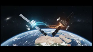
So what does it mean to make satellite science 'actionable'? It means transforming raw pixel data into clear guidance for decision-makers. The Prithvi model can be fine-tuned to tackle specific environmental challenges with remarkable speed and accuracy. For disaster response teams, this could mean creating near-instantaneous maps of flood zones during a hurricane, even seeing through cloud cover by fusing different data types. For agricultural planners, it could provide precise crop yield predictions to bolster food security. For conservationists, it can monitor deforestation or the spread of invasive species in remote regions. In one recent test, the AI was even deployed directly onto an in-orbit platform, a major step toward processing data in real-time without needing to transmit massive files back to Earth first.
Democratizing Climate Science
The long-term vision for NASA’s AI initiative extends beyond just accelerating research. By making these foundation models open source, NASA and IBM are effectively democratizing access to high-level climate analytics. Previously, this kind of data-intensive work was the domain of well-funded institutions with supercomputing resources. Now, a researcher in a developing nation or a local government official can leverage the same cutting-edge AI to address regional issues. This collaborative approach aims to spark innovation and empower communities to build resilience against climate impacts. While the energy consumption of large AI models is a valid concern, the hope is that the efficiencies and solutions they unlock—from optimizing energy grids to preventing disasters—will provide a net benefit in the global effort to protect our planet.