







India's Eyes in the Sky
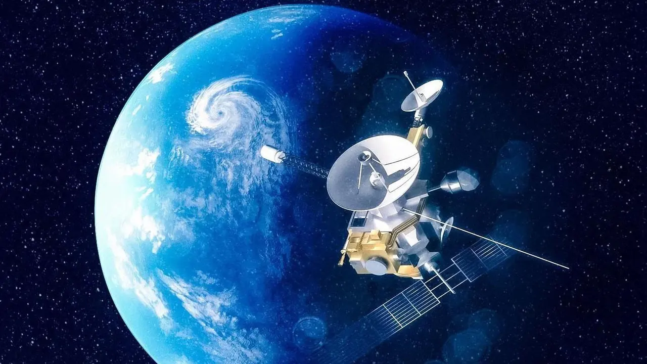
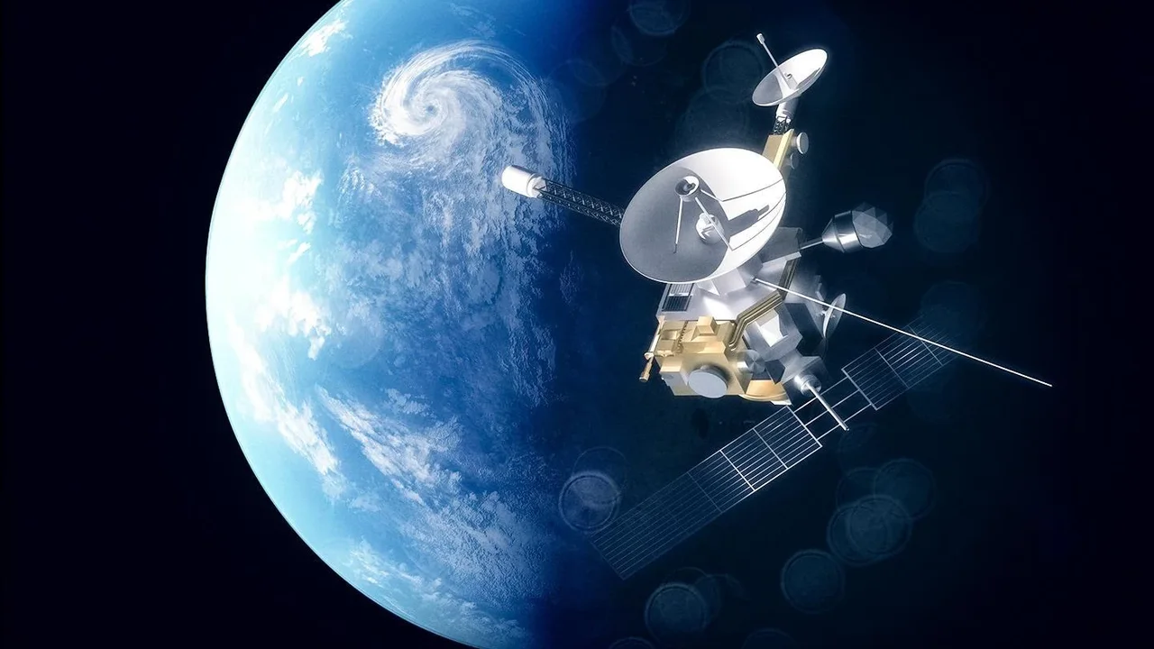
India's Earth Observation (EO) program, managed by the Indian Space Research Organisation (ISRO), has become one of the world's largest constellations of remote sensing satellites. While the headline mentions EOS-05, the workhorse satellites in this effort
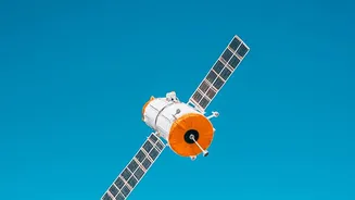
are part of the broader EOS series, most notably EOS-04 (also known as RISAT-1A) and EOS-06 (Oceansat-3). These satellites are designed for a singular, vital purpose: to harness space technology for national development. EOS-04, for example, is equipped with a Synthetic Aperture Radar (SAR), which has the remarkable ability to see through clouds and darkness, making it invaluable for monitoring during the monsoon season. EOS-06 is dedicated to monitoring our oceans, a key driver of India's climate. Together, this network provides a continuous stream of information about our land, water, and atmosphere.
A New Era for Agriculture
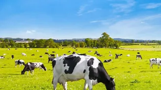
The most significant impact of this satellite data is arguably being felt in agriculture. It's powering a shift towards 'precision agriculture', where decisions are based on data, not just tradition. ISRO has developed several flagship programs to translate this data into actionable insights for farmers. The FASAL program, for instance, uses satellite imagery to forecast crop production for staples like rice and wheat, helping in better food security planning. Another key innovation is the ability to monitor soil moisture with high accuracy. Data from EOS-04 provides soil moisture information at a 500-meter resolution, a massive improvement over older systems. This allows for smarter irrigation scheduling, helping farmers conserve water and avoid crop stress. This data is made freely available through portals like BHOONIDHI, empowering farmers and researchers alike.
Keeping Watch on a Changing Climate
Beyond the farm, EOS data is a critical tool for climate scientists. Satellites like EOS-06 (Oceansat-3) are crucial for monitoring large-scale climate phenomena like El Niño by observing changes in ocean surface temperatures, wind patterns, and marine productivity. This is vital for India, as these phenomena can significantly impact the monsoon. The satellites also provide invaluable data for monitoring the health of India’s forests, tracking deforestation, and assessing the state of Himalayan glaciers. In a more immediate sense, the data is used for disaster management. During floods, radar satellites can map the extent of inundated areas in near real-time, even through heavy cloud cover, guiding rescue and relief efforts more effectively.
From Raw Data to Real-World Decisions
The raw data from space is only the first step. ISRO and other national agencies have built a sophisticated ecosystem to process and interpret this information. The National Remote Sensing Centre (NRSC) in Hyderabad is a key hub for this work. They use AI-powered tools, such as 'SASYA', to automatically identify different crop types from EOS-04 radar imagery. This automated analysis helps generate accurate nationwide crop maps with incredible speed and scale. Furthermore, under programs like the Pradhan Mantri Fasal Bima Yojana (PMFBY), satellite data is used to make crop insurance more efficient and transparent, for instance by helping to optimise the locations for crop cutting experiments. This integration of space technology into governance ensures that the benefits reach the ground level, improving planning and reducing costs.