








India’s New 'Eye in the Sky'
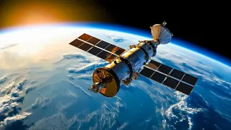
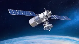
On September 4, 2026, the Indian Space Research Organisation (ISRO) successfully launched the Earth Observation Satellite-05 (EOS-05) aboard a GSLV-F17 rocket. Also known as GISAT-1A, this state-of-the-art satellite is not just another platform taking
pictures of Earth; it represents a monumental leap in India's strategic and environmental monitoring capabilities. The launch was a significant moment for ISRO, marking a successful return to flight after a previous attempt to place a similar satellite, EOS-03, failed in 2021. With EOS-05 now successfully making its way to its final orbit, India has its first operational imaging satellite designed specifically to provide persistent, near-real-time coverage of the subcontinent.
The Geostationary Difference
Most earth observation satellites, like those in the Cartosat series, operate in a Low Earth Orbit (LEO), circling the globe from a few hundred kilometres up. Think of them as high-speed trains on a fixed track; they pass over a specific location for only a few minutes before disappearing over the horizon, returning hours or even days later for another snapshot. In contrast, EOS-05 is positioned in a geosynchronous orbit at an altitude of approximately 36,000 kilometres. A satellite in this orbit moves at the same speed as the Earth's rotation. From our perspective on the ground, it appears to remain stationary over the same geographical region. This changes the game entirely, moving from periodic glimpses to a constant, unblinking stare.
From Still Photos to Live Monitoring
The crucial advantage of a geosynchronous orbit is the ability to provide continuous observation. Instead of isolated images, EOS-05 can deliver a near-real-time feed of a large area, imaging the entire Indian landmass every 30 minutes and selected areas of interest as frequently as every five minutes. This capability is the difference between looking at a single photograph of a developing cyclone and watching a live video of its movement. While LEO satellites provide higher resolution images, their revisit time creates blind spots. For fast-moving events like flash floods, forest fires, or cloudbursts, these gaps can mean the difference between timely warning and delayed response. EOS-05 is designed to fill those gaps.
A Game-Changer for Disaster Management
The most immediate and life-saving applications of EOS-05 are in disaster management and weather forecasting. By constantly monitoring the Indian subcontinent and surrounding oceans, the satellite can track the formation and intensification of cyclones, allowing for more accurate predictions and timely evacuations. It can spot the outbreak of forest fires and monitor their spread in real-time, helping authorities deploy resources more effectively. For agriculture, it offers a way to monitor crop health and assess drought conditions over vast areas. Essentially, any natural event that evolves rapidly can now be watched as it happens, giving national and state agencies an unprecedented tool for planning and response.
A Strategic Asset for National Security
Beyond its civilian uses, EOS-05 is a significant strategic asset. The ability to maintain persistent surveillance over a wide area is invaluable for national security. A satellite that never looks away can monitor sensitive border regions, track vessel movements in the Indian Ocean, and observe critical infrastructure without the predictable coverage gaps of polar-orbiting satellites. This adds a new and crucial layer to India's observation capabilities, complementing the high-resolution 'snapshots' from LEO satellites with a persistent 'watch' from a high-altitude perch. This continuous monitoring capability reduces reliance on other sources and strengthens India's strategic autonomy.