




Our Eyes in the Sky
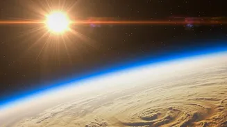
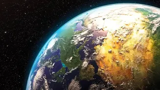
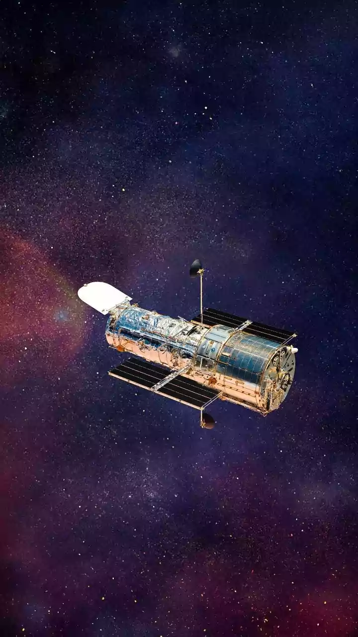
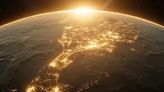
India, through the Indian Space Research Organisation (ISRO), operates one of the world's largest constellations of remote sensing satellites. These Earth Observation (EO) satellites are essentially sophisticated cameras and sensors in orbit, designed
to look back at our planet. They capture a continuous stream of data by observing Earth in different wavelengths of light, including those invisible to the human eye. This data provides invaluable insights into our land, oceans, and atmosphere. Broadly, these satellites fall into two categories: some are placed in a geostationary orbit about 36,000 km high, staying fixed over one spot to monitor weather systems continuously. Others are in a polar orbit, circling the Earth at a lower altitude to scan the entire planet's surface in detail every few days.
Decoding the Daily Weather
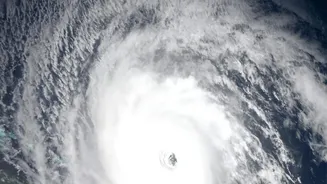
Accurate weather forecasting is one of the most vital services provided by EO satellites. The cornerstone of this capability is the Indian National Satellite (INSAT) system. Geostationary satellites like INSAT-3D and INSAT-3DR provide a constant stream of images and atmospheric data, giving the India Meteorological Department (IMD) updates as frequently as every 15 minutes. These satellites are equipped with advanced imagers and sounders that measure crucial parameters like cloud cover, sea surface temperature, wind direction, and atmospheric humidity. This constant monitoring is what enables the timely prediction and tracking of severe weather events like cyclones. The ability to issue early warnings allows authorities to evacuate coastal populations, drastically reducing the loss of life and property that was common in previous decades. They are also fundamental to forecasting the onset, progress, and intensity of the monsoon, the lifeblood of the Indian economy.
A Revolution in the Fields
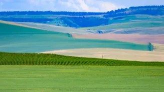
Beyond the weather, EO satellites are transforming Indian agriculture. Satellites from the Resourcesat and RISAT series provide a wealth of data that empowers farmers and policymakers. Resourcesat satellites use multispectral cameras to monitor crop health from space. By analysing the light reflected by plants, scientists can detect signs of stress from lack of water, nutrient deficiency, or pest attacks long before they are visible on the ground. This enables 'precision agriculture', where farmers can apply water or fertiliser exactly where needed, saving resources and boosting yields. The Radar Imaging Satellites (RISAT) have the special ability to see through clouds, making them indispensable for monitoring paddy cultivation during the cloudy monsoon season. This data is also used for national crop production forecasting, drought assessment, and even settling crop insurance claims under schemes like the Pradhan Mantri Fasal Bima Yojana more quickly and accurately.
Data for a Billion People
The vast amount of information gathered by these satellites is made accessible through powerful platforms like ISRO's Bhuvan geo-portal. This tool combines satellite imagery with other data to create detailed thematic maps for countless applications, from urban planning and water resource management to forestry and disaster response. Mobile applications are also bringing this data directly to farmers, providing tailored advice on everything from planting times to market information. This democratisation of space technology allows for more efficient governance and empowers individuals with data-driven insights. From tracking a cyclone's path to ensuring a farmer knows the health of their crops, India's eyes in the sky are working around the clock to build a more resilient and prosperous nation.