
The Big Picture from a Bird's-Eye View
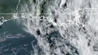
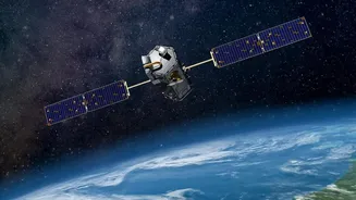
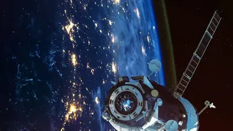
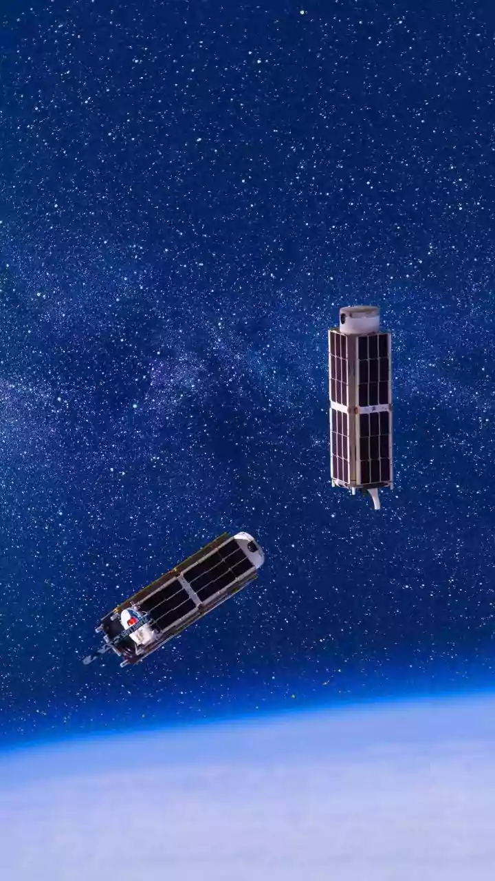
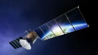
At its core, satellite data for agriculture and science is about remote sensing. Satellites equipped with advanced sensors capture information by measuring reflected light from the Earth's surface, including wavelengths the human eye can't see. This data is then
translated into practical insights. One of the most common tools is the Normalized Difference Vegetation Index (NDVI), which acts as a proxy for plant health by measuring the difference between near-infrared light (which healthy plants reflect strongly) and red light (which they absorb for photosynthesis). Low NDVI values can signal crop stress, nutrient deficiencies, or pest infestations long before the problem is visible on the ground. But it's not just about plant health; satellites can also monitor soil moisture, land surface temperatures, and even changes in land use over time.
For the Farmer: The Dawn of Precision Agriculture
For farmers, satellite data is the engine of precision agriculture—the practice of applying the right inputs at the right time and in the right place. Instead of treating a hundred-acre field as a single unit, a farmer can use satellite imagery to create detailed management zones. This allows for the targeted application of fertilisers, water, and pesticides only where they are needed, which reduces waste, lowers costs, and minimises environmental impact. In India, where many farms are smaller, remote sensing helps overcome the limitations of census data by providing farm-level insights. Farmers can monitor crop growth, predict yields with increasing accuracy, and make informed decisions about when to harvest. For instance, studies have shown that using satellite data to guide the use of tools like mechanical fertiliser spreaders can significantly improve crop yields on previously underperforming fields.
For the Scientist: A New Lens on a Changing Planet
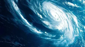
While farmers look at their fields, scientists use the same technology to monitor the entire planet. Satellite data is indispensable for understanding and tracking climate change. Researchers can monitor deforestation in the Amazon, measure the melting of glaciers and polar ice caps, and track rising sea levels with incredible precision. These long-term, consistent datasets are crucial for building and verifying climate models. Satellites also provide vital information for disaster management, helping to identify areas vulnerable to floods or wildfires and enabling early warnings. Furthermore, scientists can monitor air and water quality, track harmful algal blooms, and even follow wildlife migration patterns in remote regions, providing a global view of our planet's health.
Bridging the Gap: Where Farming and Science Meet
The true power of satellite data is unleashed when farmers and scientists use it together. Data on soil health and crop performance at a local level can feed into larger scientific models, helping researchers understand the regional impacts of climate change on agriculture. In return, scientific insights into long-term weather patterns and environmental trends can help farmers adapt their practices for a more resilient future. In India, government initiatives like FASAL and organisations like ISRO are actively using satellite data to forecast crop production, manage resources, and improve the accuracy of crop insurance schemes, directly benefiting farmers with technology-driven insights. This collaborative approach ensures that the data is not just collected, but translated into actionable knowledge that strengthens food security and promotes sustainable practices.