


Earth’s Invisible Electrical Blanket
High above us, starting at around 60 kilometres and extending outwards for hundreds more, lies the ionosphere. It’s a layer of our atmosphere where solar radiation is so intense that it strips electrons from atoms, creating a sea of charged particles,
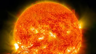
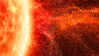
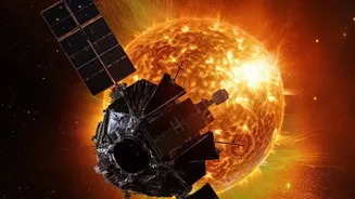
or plasma. This electrically charged blanket is crucial for long-distance radio communication, but it’s also highly sensitive to activity from the Sun. When the Sun unleashes solar flares or coronal mass ejections (CMEs), it sends a barrage of energy and particles toward Earth, causing the ionosphere to become turbulent and irregular. This turbulence is what wreaks havoc on the satellite signals we depend on.
The Global Watchtowers
To keep an eye on this volatile region, a global network of space weather monitoring stations works around the clock. These aren't single, massive buildings but a distributed collection of instruments, often hosted by universities and research institutions worldwide, including in India. These stations are our first line of defence, providing the data needed to understand and forecast disturbances. In India, the Indian Network for Space Weather Impact Monitoring (InSWIM) is a key initiative that uses a variety of instruments to observe the ionosphere over the Indian subcontinent, a region with unique atmospheric dynamics. These networks are vital for services ranging from aviation to precision agriculture.
The Toolkit for Atmospheric Spying
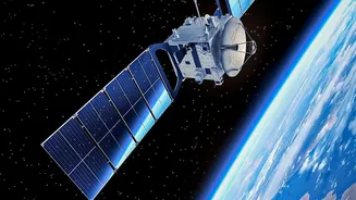
So, how do scientists actually ‘see’ these invisible disturbances? They use a sophisticated toolkit. The primary workhorse is the Global Navigation Satellite System (GNSS) receiver—the same technology your phone uses for location. By analysing the signals from GPS and other navigation satellites as they pass through the ionosphere, scientists can measure the total number of electrons between the satellite and the ground receiver. This metric, known as Total Electron Content (TEC), is a key indicator of ionospheric conditions. Other crucial tools include ionosondes, which are specialised radars that send radio pulses vertically to map the ionosphere's layers, and magnetometers, which detect fluctuations in the Earth's magnetic field caused by solar storms.
Decoding the Atmospheric Static
The two main phenomena that stations look for are signal delays and scintillation. When a GNSS signal travels through a dense patch of electrons, it is slowed down, an effect measured by the TEC. An unexpectedly high TEC can introduce positioning errors of several meters, which is a major problem for systems requiring high precision. The other issue is ionospheric scintillation, which refers to rapid fluctuations in the signal's strength and phase, much like the twinkling of a star. This 'twinkling' can cause a receiver to lose its lock on a satellite entirely, leading to service blackouts for navigation and communication systems. Monitoring stations generate near-real-time maps of TEC and scintillation indices, allowing users to see which regions are currently affected.
Why Constant Monitoring Matters
The data collected by these stations is not just for scientific curiosity; it has immense practical value. The aviation industry relies on these forecasts to divert flights around polar regions where communication can be completely lost during a storm. Logistics, construction, and precision agriculture companies depend on accurate GPS for their operations. Even financial markets, which use satellite signals for precise time-stamping of transactions, are vulnerable. By providing warnings and real-time data, organisations like India's Regional Warning Centre (RWC) and the international Space Weather Prediction Center (SWPC) help these industries brace for impact and implement mitigation strategies. This silent, constant monitoring helps ensure the stability and reliability of the technological infrastructure that underpins modern life.