




India's Eyes in the Sky
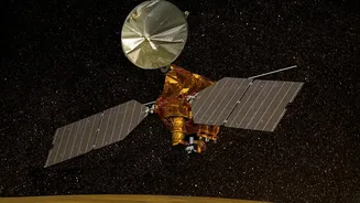
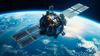
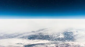
For decades, the Indian Space Research Organisation (ISRO) has been building a formidable constellation of Earth Observation satellites. These aren't just for communication or defence; they are powerful tools for national development. Satellites like
those in the INSAT series and Resourcesat missions are equipped with advanced sensors that capture a wealth of data about our planet. They track cloud movements, measure sea surface temperatures, and assess atmospheric conditions, providing crucial inputs for weather forecasting. Synthetic Aperture Radar (SAR) on satellites like RISAT can even see through clouds, making them invaluable during the dense cloud cover of the monsoon season. This constant stream of information forms the backbone of India’s modern disaster management and agricultural planning.
Taming the Monsoon's Fury
The most immediate impact of this space-based data is in saving lives. The India Meteorological Department (IMD) uses satellite imagery to track the formation and movement of cyclones and depressions in the Bay of Bengal and the Arabian Sea. This allows for precise and timely warnings, giving authorities and communities crucial time to prepare for severe weather events. Data on rainfall intensity and cloud patterns helps predict flash floods and widespread waterlogging. National and state disaster management agencies rely on these inputs to preposition response teams, evacuate vulnerable populations, and manage relief efforts. This proactive approach, powered by space technology, has drastically reduced the human cost of natural disasters like cyclones, transforming a reactive system into a predictive one.
A Digital Lifeline for Agriculture
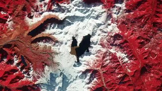
Beyond disaster management, satellites are revolutionising Indian agriculture. Through programmes like Forecasting Agricultural output using Space, Agro-meteorology and Land-based observations (FASAL), the government generates pre-harvest production forecasts for major crops. Another key initiative is the National Agricultural Drought Assessment and Monitoring System (NADAMS), which uses satellite-derived vegetation indices to monitor drought conditions at a sub-district level, enabling early warnings and targeted interventions. These indices, such as the Normalised Difference Vegetation Index (NDVI), measure crop health by analysing how plants reflect light. A declining trend can signal stress from lack of water, nutrient deficiency, or pest attacks, often before it's visible to the naked eye.
Powering Smarter Farming and Policy
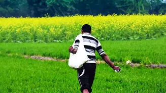
This data is no longer just for government agencies. It's becoming a cornerstone of the Pradhan Mantri Fasal Bima Yojana (PMFBY), India's flagship crop insurance scheme. Satellite data helps in accurately assessing sown areas and estimating crop losses, making claim settlements faster and more transparent. For instance, the YESTECH initiative uses satellite-based models for gram panchayat-level yield estimation. Furthermore, a growing number of agritech startups are building platforms that translate complex satellite data into simple, actionable advice for farmers. These apps can provide field-specific recommendations on when to irrigate, where to apply fertilisers, and how to manage pest outbreaks, leading to reduced input costs and improved yields.
Challenges and the Road Ahead
While the technology offers immense potential, challenges remain. The primary hurdle is last-mile delivery—ensuring that these valuable insights reach every farmer, especially smallholders in remote areas. The effectiveness of satellite data is also enhanced when combined with ground-level information from drones and IoT sensors, a practice that is still scaling up. The upcoming NISAR (NASA-ISRO Synthetic Aperture Radar) mission, a collaboration between NASA and ISRO, promises to be a game-changer. It will provide high-resolution, all-weather data on an unprecedented scale, offering even more detailed insights into crop health, soil moisture, and changes in land use. This will further strengthen India’s ability to manage its resources in the face of a changing climate.