



An Unblinking Eye on a Smoldering Threat
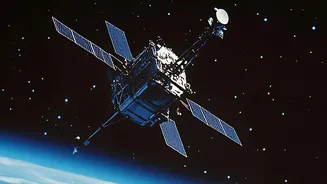
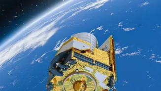
The first line of defence against a catastrophic wildfire is early detection. Long before a human might spot a plume of smoke, satellites can identify a fire just as it begins. Equipped with sophisticated sensors, these orbital watchdogs scan the planet's
surface for thermal anomalies—unusual hot spots that indicate a potential fire. Instruments like the Moderate Resolution Imaging Spectroradiometer (MODIS) and the Visible Infrared Imaging Radiometer Suite (VIIRS), aboard NASA and NOAA satellites, are crucial players. They detect heat signatures using thermal and infrared channels, allowing them to spot fires even through smoke or at night. This near real-time data is sent to agencies like the Forest Survey of India (FSI), enabling rapid response before a small blaze can escalate into an uncontrollable inferno.
Tracking the Fire's Fury in Real-Time
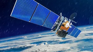
Once a fire is underway, the battle becomes one of strategy and containment. This is where the continuous coverage from space becomes a game-changer for firefighters on the ground. A combination of polar-orbiting satellites, which provide detailed global snapshots, and geostationary satellites, which hover over one area, offers a dynamic view of a fire's behaviour. This data allows authorities to track the fire's direction and speed of spread, monitor the movement of smoke plumes, and identify smaller spot fires that may jump containment lines. With this critical intelligence, incident commanders can make informed decisions, allocating resources more effectively, planning safer evacuation routes, and ensuring the safety of their crews. Global systems like the Copernicus Emergency Management Service (CEMS) provide on-demand mapping to support these efforts worldwide.
Assessing the Scar on the Landscape
After the last embers are extinguished, the difficult work of recovery begins. Space technology is indispensable in this phase, providing a comprehensive and cost-effective way to assess the damage. Satellites like the Landsat series can map the 'burn scar' with remarkable precision, showing the exact extent of the affected area. By comparing pre- and post-fire imagery, analysts use indices like the Normalized Burn Ratio (NBR) to evaluate the severity of the burn—distinguishing between lightly scorched ground and areas where the vegetation has been completely destroyed. This information is vital for government agencies to prioritize recovery efforts, for insurance companies to process claims, and for scientists to study the fire's impact on the ecosystem.
Watching the Slow Process of Healing
The impact of a forest fire lingers long after the flames are gone, creating risks of soil erosion and flooding. The story of recovery, however, is also written in satellite data. Over months and years, remote sensing satellites monitor the slow return of life to a burned landscape. Scientists can track the regrowth of vegetation, assess the health of the recovering forest, and identify areas that may need human intervention, such as replanting or erosion control measures. This long-term monitoring provides invaluable insights into forest resilience and helps land managers make better decisions to protect these vital ecosystems in the future. The joint NASA-ISRO satellite, NISAR, for instance, uses advanced radar to track subtle changes in India's forests, offering a powerful tool for monitoring post-fire recovery and overall forest health.