


Beyond the Surface
For decades, disaster forecasting relied heavily on satellites and land-based seismic stations. While effective to a degree, these methods have limitations. Satellites can observe surface conditions like wind speed and cloud formation but cannot see what’s
happening in the water column below. Land-based seismographs can detect an earthquake, but they can't confirm whether it has actually generated a tsunami. This gap in knowledge often led to a difficult choice: issue a widespread, potentially disruptive warning based on incomplete data, or risk being too late. The solution required getting closer to the source of the threat—thousands of meters below the surface.
Listening to the Seafloor
Deep ocean exploration provides the 'ground truth' that was previously missing. By placing sophisticated sensors on the seafloor, scientists can monitor the ocean from the bottom up. These instruments directly measure critical changes that signal an impending disaster. The most well-known of these are the Deep-ocean Assessment and Reporting of Tsunamis (DART) buoys. A DART system consists of two parts: a bottom pressure recorder (BPR) on the seafloor and a companion buoy on the surface. The BPR constantly measures the pressure of the water column above it. When a tsunami wave passes, it displaces the entire column of water, causing a tiny but distinct pressure change that the sensor detects.
The Tsunami Sentinels
When a BPR detects a pressure change characteristic of a tsunami, it immediately transmits the data via an acoustic link to its surface buoy. The buoy then relays this information in real-time to tsunami warning centres via satellite. This confirms that a tsunami has been generated and provides crucial data on its size and speed. This system eliminates the guesswork. Instead of relying solely on earthquake magnitude, forecasters can track the actual tsunami wave as it travels across the open ocean. This allows them to issue highly accurate warnings for specific coastal areas, providing vital hours for evacuation and drastically reducing the frequency of false alarms.
More Than Just Tsunamis
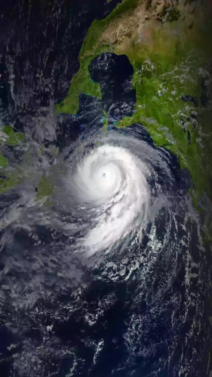
While tsunamis are a primary focus, deep ocean monitoring enhances warnings for other hazards too. Networks of underwater floats and gliders, like those in the Argo program, constantly measure ocean temperature, salinity, and currents at various depths. This data is critical for improving weather and climate models. For instance, the heat content of the upper ocean is a key factor in determining the intensity of a cyclone. By feeding real-time deep-ocean temperature data into forecasting models, meteorologists can better predict how a storm will develop. Furthermore, new technologies are even turning the vast network of undersea fibre-optic cables into an array of environmental sensors, capable of detecting seismic shifts and changes in ocean currents and temperature.
India's Deep Dive for Safety
Recognising this, India has made deep ocean exploration a national priority through its ambitious Deep Ocean Mission. Launched in 2021, one of the mission's key objectives is to develop 'Ocean Climate Change Advisory Services'. This involves deploying a suite of observation systems to improve models for forecasting monsoons, cyclones, and storm surges. By investing in technologies like the MATSYA 6000 manned submersible and developing a network of ocean sensors, India is building its own capacity for disaster resilience. This national initiative is not just about scientific discovery; it's a strategic investment in protecting the nation's 7500-kilometre coastline and the millions of lives that depend on it.