





An All-Weather Eye in the Sky
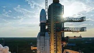
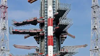
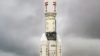
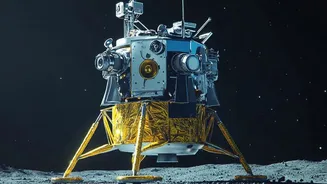
Launched by the Indian Space Research Organisation (ISRO), EOS-05 is an advanced Earth Observation Satellite. Unlike its predecessors that orbit at lower altitudes, EOS-05 operates from a geosynchronous orbit approximately 36,000 kilometres above Earth.
This high vantage point allows it to continuously monitor a vast swath of the Indian subcontinent. Crucially, some of India's key Earth observation satellites, like EOS-04 (also known as RISAT-1A), are equipped with Synthetic Aperture Radar (SAR). This technology is a game-changer because it can see through clouds, haze, and darkness, making it exceptionally useful during the dense cloud cover of the monsoon season. This all-weather, day-and-night capability ensures that critical data can be gathered when it's needed most.
Navigating Erratic Rains
The Indian summer monsoon has become more variable, characterized by long dry spells broken by short, intense rainfall events. This volatility creates immense challenges for farmers. Too little rain can lead to drought, while sudden deluges can cause catastrophic flooding. EOS-05 and its counterparts help tackle this uncertainty head-on. By providing frequent imaging, the satellites allow for near real-time mapping of flooded areas. This information is vital for assessing the extent of crop damage, identifying which areas are inundated, and planning effective emergency response and relief efforts. For farmers, this data can inform decisions on whether replanting is feasible and helps authorities direct support to the most affected regions.
From Sowing to Soil Health
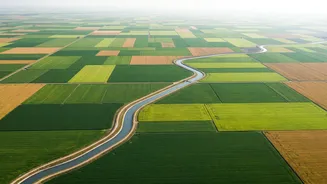
Effective farming begins even before a seed is planted. Satellite data provides invaluable insights into soil moisture levels across vast agricultural belts. This helps in determining the optimal time for sowing crops, a critical decision that significantly impacts the harvest. ISRO's satellite data, including from the EOS series, is used to generate products like the Operational Soil Moisture Product, which provides high-resolution information crucial for irrigation planning and early drought detection. Once crops are growing, satellites continue to monitor their health. By analyzing the imagery, experts can detect signs of stress in plants caused by lack of water, nutrient deficiencies, or pest attacks, enabling timely interventions.
Forecasting Yields for Food Security
One of the most significant applications of this satellite technology is in forecasting agricultural output. Programmes like FASAL (Forecasting Agricultural output using Space, Agrometeorology and Land-based observations) use satellite data to provide pre-harvest production estimates for major crops like rice, wheat, and cotton. By accurately estimating the acreage under cultivation and modeling crop yields based on vegetation indices and weather data, the government can make informed policy decisions. These forecasts are crucial for managing food grain storage, regulating pricing, planning imports or exports, and ultimately ensuring the nation's food security in a climate-sensitive era.