





An Eye That Never Blinks
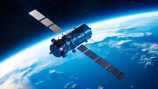
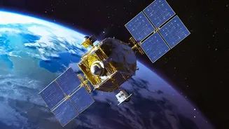
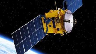
At the heart of India's advanced weather monitoring capabilities is its Earth Observation Satellite (EOS) program. These satellites act as sophisticated cameras in the sky, capturing vital data about our planet. One of the key ambitions of the program was
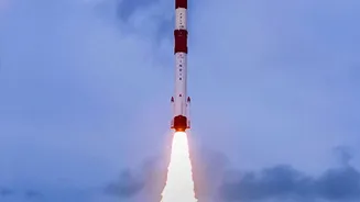
represented by the Geo Imaging Satellite, or GISAT-1 (also known as EOS-03). Its mission was to provide near real-time imaging of the subcontinent from a geostationary orbit, about 36,000 kilometres away. From this vantage point, a satellite appears to stay in one place, allowing for continuous observation of a specific area. While the 2021 launch of GISAT-1 failed to place the satellite into orbit due to a technical issue, the goal remains a priority for the Indian Space Research Organisation (ISRO). A replacement satellite, EOS-05, is slated for launch, carrying the promise of constant, high-resolution imagery to monitor for natural disasters and other significant events. This capability is crucial for a nation that frequently faces extreme weather.
Taming the Cyclone
One of the most significant impacts of India's satellite program is on cyclone prediction. Before satellite technology, tracking these powerful storms was a difficult and often inaccurate science. Today, satellites like those in the INSAT series provide a constant stream of data to the India Meteorological Department (IMD). They can detect the formation of a cyclone over the ocean, track its path with incredible precision, and measure its intensity by observing cloud structure and wind speeds. This real-time information is the bedrock of modern early warning systems. It provides disaster management agencies with crucial lead time—often several days—to issue alerts and carry out large-scale evacuations in vulnerable coastal areas. This capability has saved countless lives over the years, transforming disaster response from a reactive effort into a proactive strategy.
A Revolution in the Fields
Beyond dramatic weather events, space technology is quietly transforming Indian agriculture. Satellites can monitor vast stretches of farmland, providing invaluable data on crop health, soil moisture levels, and water availability. By analyzing multi-spectral images, scientists can identify areas where crops are stressed by drought or disease, often before the problems are visible on the ground. This allows for targeted interventions, helping farmers use resources like water and fertiliser more efficiently. For a sector that employs a massive portion of the population and is heavily dependent on the monsoon, this data is a game-changer. Furthermore, satellite imagery helps in creating more accurate crop yield predictions and assessing damage after events like floods, enabling faster and more transparent insurance claim processing for affected farmers.
Beyond Weather: A Holistic View
The benefits of Earth observation extend far beyond just weather and agriculture. ISRO's satellites, including the successful EOS-06 (Oceansat-3) launched in 2022, contribute to a wide array of environmental applications. These include monitoring the health of forests, detecting and tracking forest fires, mapping flood inundation in near real-time, and studying changes in India's glaciers and coastlines. The data gathered helps in urban planning, managing water resources, and understanding the long-term impacts of climate change. Satellites like Oceansat-3 provide specific data on ocean surface winds and temperature, which is vital for both climate models and identifying potential fishing zones for coastal communities. This holistic view of the environment is essential for sustainable development and national planning.