





The Old Metric: A Simple Storm Count
For decades, the primary measure of cyclone risk was frequency—how many storms formed over the North Indian Ocean each year. The Bay of Bengal was traditionally the more active and monitored basin, producing the majority of storms that threatened the eastern
coast. While the overall number of cyclonic disturbances has actually seen a slight decline over the long term, this simple count is no longer a reliable indicator of the true danger. A storm is no longer just a storm, and meteorologists are shifting their focus to more nuanced and alarming characteristics that define the modern cyclone.
A New Focus on Intensity and Duration
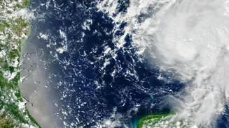
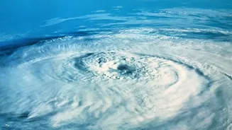
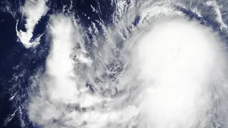
The conversation is now about intensity, duration, and behaviour. While fewer cyclones may be forming overall, a greater proportion of them are escalating into 'Severe' or 'Very Severe' categories. These storms are lasting longer and retaining their power for extended periods. One study noted that the total duration of cyclones in the Arabian Sea increased by 80% in recent decades, with the duration of 'very severe' cyclones rising by a staggering 260%. This means coastal areas are exposed to destructive winds and torrential rain for much longer, amplifying the potential for damage.
The Arabian Sea: A New Cyclone Hotspot
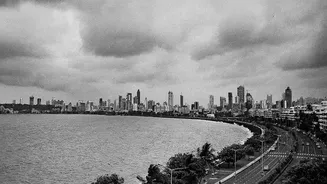
Historically, the Arabian Sea was considered the calmer of India's two seas, with cooler waters less conducive to cyclone formation. That is no longer the case. Due to rapidly warming sea surface temperatures, the Arabian Sea has become a new hotspot for cyclonic activity. Research shows a 52% increase in the frequency of cyclones over the Arabian Sea in the last two decades, with the number of 'very severe' cyclones jumping by 150%. This westward shift in risk means states like Gujarat and Maharashtra, which were once less prepared for intense storms, now face a significantly heightened threat.
The Terrifying Speed of 'Rapid Intensification'
Perhaps the most dangerous new trend is 'rapid intensification'. This is when a cyclone explodes in strength over a very short period, sometimes jumping multiple categories in just a few hours. Warmer ocean waters act like high-octane fuel for these storms. This phenomenon makes forecasting incredibly challenging, shrinking the crucial window for evacuation and preparedness. Cyclones that might have been manageable can suddenly become catastrophic threats, catching coastal authorities and residents off guard. Recent studies confirm that the frequency of these rapid intensification events in the Arabian Sea has doubled since 2013.
What This Means for India's Coasts
This shift from counting storms to analysing their behaviour has profound implications. The India Meteorological Department (IMD) has dramatically improved its forecasting models since the tragic 1999 Odisha supercyclone, now able to predict landfall with far greater accuracy. However, these new trends demand even more sophisticated prediction and 'impact-based' forecasting, which tells people not just what the weather will be, but what it will do—predicting storm surge heights, potential flooding zones, and infrastructure risks. It also requires a fundamental change in disaster management, with western coastal states needing to adopt the same level of preparedness long practiced in the east. The focus is moving from reacting after a disaster to mitigating risk well before a storm makes landfall.