




The Unpredictable Mountain Threat
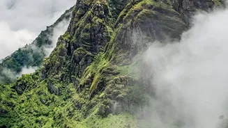
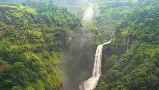
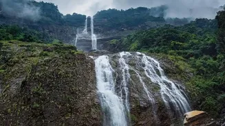
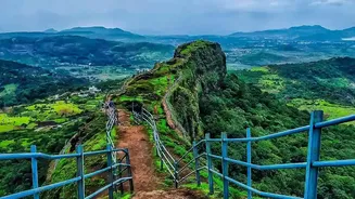
Trekking in the Himalayas or the Western Ghats during monsoon season is a breathtaking experience, filled with lush greenery and dramatic cloudscapes. However, this beauty comes with a significant danger: flash floods. These events are terrifyingly swift,
capable of turning a dry gully or a gentle stream into a raging torrent in minutes. Upstream rainfall, which trekkers may not even see or hear, can send a wall of water downstream with little warning. The primary dangers are not just the rain itself, but the resulting swollen streams, slippery terrain, and the risk of being trapped in narrow gullies. For years, trekkers and guides relied solely on experience and weather forecasts, but the unpredictable nature of mountain weather makes this a high-stakes gamble.
The Digital Safety Net
In response to these dangers, responsible adventure operators have turned to technology to create a digital safety net. Real-time tracking is at the heart of this modern approach to trekker safety. The concept is simple: equip trekking groups with devices that continuously transmit their location to a base camp or a central monitoring team. This allows operators to have a constant, bird's-eye view of where their groups are in relation to known risk areas. If a flash flood warning is issued or heavy rainfall is detected in a specific catchment area, the operator can immediately assess which groups are in potential danger and direct them to safer, higher ground. This proactive capability is a world away from the reactive model of sending out a search party only after a group is declared missing.
GPS and Satellite Messengers
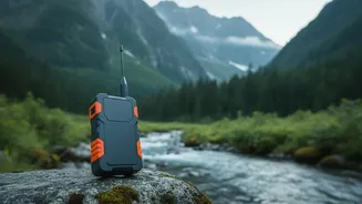
The workhorses of remote tracking are specialised Global Positioning System (GPS) devices and satellite messengers. Unlike smartphones, which depend on cellular networks that are non-existent in most high-altitude trekking areas, these gadgets communicate directly with satellites. Devices like the Garmin inReach or SPOT trackers allow guides to send pre-defined 'OK' messages at regular intervals and, crucially, transmit their live location. This data is plotted on a digital map for the monitoring team. The most advanced versions, often called satellite communicators, offer two-way messaging. This means a guide can not only send an SOS alert with their exact coordinates in an emergency but also receive specific instructions from the base camp, such as “Heavy rain forecast upstream, move to elevation point X immediately.”
The Role of Smartphone Apps
While satellite devices are the gold standard for remote wilderness, smartphone apps still play a role, especially on popular trails with intermittent connectivity. Apps like Gaia GPS, AllTrails, and Mapulator can use a phone's built-in GPS to record a track. Some allow for live location sharing with family or the tour operator, provided there is a data connection. Their main limitation is battery life and the reliance on cellular networks. However, for treks on the fringes of network coverage, they can be a useful supplementary tool. Operators often use a combination, relying on apps when in range and mandating satellite communicators for the truly off-grid sections of a trail.
More Than Just Technology
Technology is a powerful tool, but it is not a silver bullet. The most reputable adventure tour operators in India integrate this technology into a broader framework of safety protocols. This starts with rigorous pre-trek planning, including monitoring weather forecasts from sources like the Indian Meteorological Department and conducting trail reconnaissance to identify hazards. On the trail, the system relies on highly experienced guides who are trained in first aid, emergency response, and monsoon navigation. These guides are the crucial human element who interpret the data, make decisions on the ground, and lead trekkers to safety. The Indian government and organisations like the Adventure Tour Operators Association of India (ATOAI) have also established guidelines that stress the importance of emergency action plans, proper client briefings, and maintaining updated documentation for every trek.
How Trekkers Can Stay Safe
As a trekker, your safety is a shared responsibility. When choosing an operator, always ask about their safety and communication protocols. Do their guides carry satellite phones or messengers? Do they have a 24/7 monitoring team? Reputable companies will be transparent about their safety measures. Beyond that, always carry a personal first-aid kit, a powerful whistle, and a fully charged power bank. Pay attention during safety briefings and never hesitate to listen to your guide's instructions, especially if they advise a change of plans. Understanding the warning signs of a flash flood—such as a sudden change in water colour from clear to muddy or a distant roaring sound—can also be a lifesaver.