

A Complex and Vulnerable Landscape
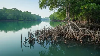
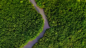
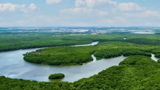
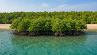
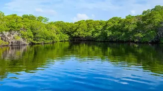
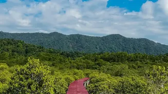
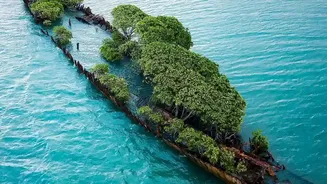
The Sundarbans, the world's largest mangrove forest spanning India and Bangladesh, is a region defined by water. This UNESCO World Heritage Site is a complex delta of rivers, tidal creeks, and low-lying islands. For the millions who call this place home,
life is intrinsically tied to the rhythm of the tides. However, this unique geography also makes it exceptionally vulnerable. Factors like rising sea levels, land subsidence, and an increasing frequency of intense cyclones create a perfect storm for devastating floods. Predicting when and where the water will rise is incredibly challenging due to the intricate network of channels and the dynamic interplay of river flow and tidal surges. Traditional forecasting methods have often struggled to provide warnings with enough lead time to be effective.
What Are Telemetry Sensors?
Enter telemetry sensors. In simple terms, telemetry is the technology that allows data to be collected at a remote or inaccessible point and transmitted automatically to receiving equipment for monitoring. Think of it as having eyes and ears in places that are difficult to reach. These systems typically involve a sensor that measures a specific parameter—like water level, flow rate, or salinity—and a transmitter that sends this data wirelessly to a central server. While the concept isn't new, the application of modern, low-cost Internet of Things (IoT) enabled sensors has become a game-changer for environmental monitoring. These devices can operate autonomously for long periods, providing a continuous stream of real-time information from the heart of the environment they are monitoring.
Eyes and Ears in the Water
In the context of the Sundarbans, these sensors are strategically placed throughout the mangrove waterways. Often using ultrasonic technology, they measure the water level with high precision and can also track changes in water quality, such as salinity, which is crucial in a tidal estuary. This data is transmitted in real-time or at frequent intervals to a central processing hub. This marks a significant leap from older methods, which might rely on manual readings or satellite passes that provide data for a specific point in time but lack continuous coverage. Having a network of these sensors creates a detailed, live map of the hydrological conditions across the entire delta, capturing the subtle but critical changes that precede a flood event.
The Power of Real-Time Data
The true power of this technology lies in what can be done with the data. The continuous stream of information on water levels is fed into sophisticated hydrological and machine learning models. These models can analyze the incoming data, compare it with historical patterns, and factor in meteorological forecasts for rainfall and cyclonic storm surges. By understanding how quickly water is rising in different parts of the delta, authorities can predict the path and severity of an impending flood with much greater accuracy. This system dramatically increases the lead time for warnings, moving from a few hours or a couple of days to potentially several days in advance. This extended warning period is vital for effective disaster preparedness.
Protecting Lives and Livelihoods
The impact of more accurate, timely flood warnings in the Sundarbans is profound. For communities, it means having more time to evacuate to safer ground, secure their homes, and protect their livestock and belongings. It allows disaster management teams to deploy resources more effectively, targeting the areas most at risk. Livelihoods dependent on agriculture and fishing, which are extremely vulnerable to floods and saline water intrusion, can be better protected. Beyond the immediate human impact, this data also helps in the long-term management of the fragile mangrove ecosystem. Understanding the dynamics of water flow and salinity helps scientists and conservationists devise better strategies to protect this vital natural barrier, which itself helps mitigate the impact of storms.