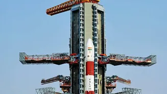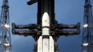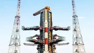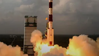





When ISRO's GSLV rocket soars into the sky, it's a moment of national pride. But for the satellite it carries, like the NVS-03, the most critical part of its journey has just begun. What exactly happens after it separates from the rocket?
The First Stop: A Parking Orbit
After a powerful
launch, the rocket doesn't take the satellite all the way to its final home. Instead, it places it into what is called a Geosynchronous Transfer Orbit (GTO). Think of GTO as an elliptical 'parking' orbit—a temporary path around the Earth. This orbit is highly elongated. Its closest point to Earth, the perigee, can be just a few hundred kilometres high, while its farthest point, the apogee, stretches out to nearly 36,000 kilometres, the same altitude as the final intended orbit. This method is highly efficient, saving rocket fuel by letting the satellite use its own smaller, high-efficiency engine for the final, precise positioning.
The Climb: Orbit-Raising Manoeuvres
Once safely in the GTO, the real work for ISRO's mission control team begins. The satellite is a long way from being operational. The goal is to transform the highly elliptical transfer orbit into a perfectly circular one at a constant 36,000 km altitude. This is done through a series of carefully planned engine firings called orbit-raising manoeuvres. The satellite carries its own onboard engine, known as a Liquid Apogee Motor (LAM). At precisely the right moment, when the satellite reaches its apogee (the farthest point), mission control fires the LAM. This 'kick' increases its velocity, pushing the perigee (the closest point) farther and farther away from Earth with each burn, gradually making the orbit less elliptical and more circular. For NVS-03, this involved several such planned burns over a number of days.
The Final Destination: Geosynchronous Orbit
After several of these 'apogee kicks', the satellite's orbit becomes circular, with both its apogee and perigee at approximately 36,000 km. It has now reached its final Geostationary Orbit (GSO). At this specific altitude, the satellite's orbital period matches the Earth's rotation period of 24 hours. This means it appears to hover over a fixed point on the Earth's surface. This is crucial for navigation and communication satellites, as it allows ground antennas to stay pointed at a single spot in the sky without needing to track a moving target. For NVS-03, its designated spot is at 111.75 degrees East longitude.
Waking Up and Getting to Work
Reaching the final orbit isn't the end of the process. The satellite, which has been in a compact configuration for launch, now needs to 'wake up'. Commands are sent to deploy its solar panels to generate power and unfurl its large antennas for transmitting and receiving signals. This is followed by a period of rigorous testing. ISRO's engineers check all the satellite's systems and, most importantly, switch on and calibrate its main payload. For NVS_03, the payload includes highly precise atomic clocks and the navigation transmitters that will send out timing and positioning signals. Only after these extensive checks is the satellite declared operational and integrated into the wider constellation.
Why NVS_03's Journey Matters for India
This intricate orbital dance is vital for India's strategic autonomy. NVS_03 is part of the NavIC (Navigation with Indian Constellation) system, India's own answer to GPS. The NavIC system, which became necessary after access to foreign GPS data was restricted during the 1999 Kargil War, ensures that India's military and civilian users have guaranteed access to positioning, navigation, and timing services. NVS_03 is particularly important as it helps ensure the continuity and reliability of the NavIC constellation. It also carries a new generation, Indian made rubidium atomic clock and transmits on the L1 frequency band, which is common in many consumer devices, paving the way for easier integration of NavIC into everyday smartphones.