




The Old Homebuying Playbook
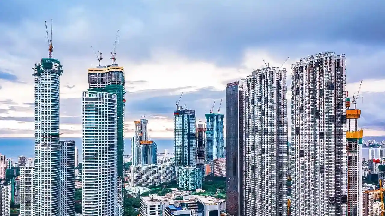
For decades, buying a property in Bengaluru followed a familiar script. Buyers prioritized proximity to tech parks, good schools, and metro stations. The prestige of the neighbourhood, the list of amenities in a gated community, and the reputation of the builder
were the primary drivers of choice and value. A property's legal documents, or 'khata', and its clear title were the main objects of due diligence. The question of water was usually about ensuring a steady supply from the BWSSB or a reliable borewell, not about getting rid of a sudden excess of it. This checklist served buyers well during the city's explosive growth, but the ground, quite literally, has shifted.
A New, Water-Logged Reality
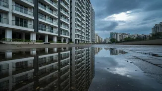
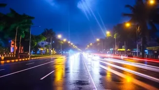
A series of intense, pre-monsoon and monsoon flash floods in recent years has exposed a deep vulnerability in the city's infrastructure. Areas like Bellandur, Sarjapur Road, Whitefield, and the Outer Ring Road, once prime real estate hotspots, have seen roads turn into rivers and basement parking lots into swimming pools. This isn't just a temporary inconvenience. This recurring flooding, caused by rampant construction over a historical network of lakes and stormwater drains (rajakaluves), has permanently altered the real estate equation. Properties in repeatedly flooded areas now trade at a significant discount and are harder to sell, introducing a new 'resale liquidity risk' for owners. The question homebuyers are asking has changed from “Does it have a pool?” to a far more urgent, “Does the area flood?”.
Enter the Drain Map
This is where the new research comes in, not from a single academic paper, but from a collective, urgent consensus among urban planners, citizen activists, and seasoned real estate professionals. The focus has zeroed in on 'rajakaluves'—the city's natural and man-made network of stormwater drains designed to carry excess rainwater between lakes. Encroachment on these drains and their legally mandated buffer zones is a primary cause of urban flooding. As a result, the most critical piece of research for a prospective homebuyer is no longer just the sales brochure, but the official BBMP (Bruhat Bengaluru Mahanagara Palike) survey maps showing the city's drain network. Verifying that a potential property does not encroach on a rajakaluve or its buffer zone has become non-negotiable.
Your New Due Diligence Checklist
So how does a buyer navigate this new terrain? The old legal check is still vital, but it must be supplemented with a new, flood-specific one. 1. Map Verification: Before you even visit a site, use online resources. Portals like the one launched by IIMB-RERI (rajakaluve.org) and other civic-tech platforms can help you overlay property survey numbers onto drain maps. The BBMP also releases official maps of its drain network. 2. Check Buffer Zones: The rules require a 'no construction' buffer on either side of a drain, which varies depending on whether it's a primary, secondary, or tertiary drain. A building inside this zone, even if registered, risks demolition. 3. Physical Inspection: Maps are a starting point. Visit the site, especially during the rainy season if possible. Look for the physical location of drains. Assess the land's topography—is it in a low-lying area? Talk to residents in adjacent buildings about past waterlogging incidents. 4. Beyond the Plot: Your building might be on high ground, but if the access roads flood, you are effectively trapped. Assess the risk to the surrounding infrastructure.
Future-Proofing Your Investment
This shift in focus from amenities to infrastructure resilience is a permanent one. Properties that are demonstrably safe from flooding, with clear, un-encroached drains and proper setbacks, will command a premium in the years to come. Conversely, those with even a hint of flood risk will face declining value and liquidity. Developers are also beginning to respond, with newer projects highlighting their flood-resilient designs and distance from drainage channels. For a homebuyer, this means your investment's long-term health is now inextricably linked to the city's water management. Looking at drain maps isn't just about avoiding a disaster; it's about making a smarter, more sustainable investment in your future.