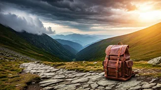


The Allure and Anxiety of Going Solo
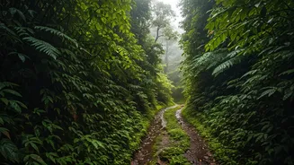
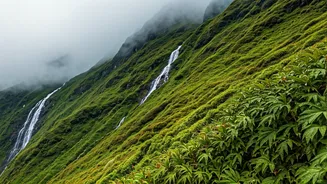
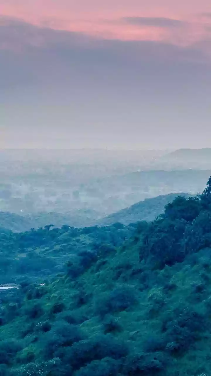
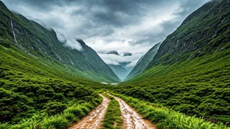
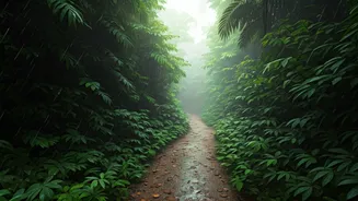
For many, the mountains are a calling. The idea of a solo journey through the towering peaks of Himachal or Uttarakhand promises solitude, breathtaking views, and a profound sense of accomplishment. However, this freedom comes with a heavy dose of reality.
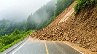
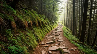
Unpredictable weather can turn a sunny day into a life-threatening storm. A trail that was clear last season might now be blocked by a landslide. Wild animals, altitude sickness, and the simple risk of getting lost are constant companions. Traditionally, solo trekkers have relied on physical maps, local guides, or stories from fellow travellers met along the way. But in a digitally connected world, a new, more dynamic source of information is emerging, born from the very community it seeks to protect.
Why Google Maps Won't Save You
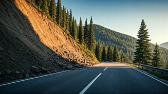
On city streets, we trust apps like Google Maps implicitly. But in the rugged, remote terrain of the high mountains, these tools often fall short. Their satellite imagery can be outdated, and their algorithms can't account for hyper-local, real-time changes on the ground. A major mapping app might show a clear trail, failing to mention that a small bridge was washed away in last week's flash flood or that a once-reliable water source has dried up. This information gap is where danger lies. Corporate maps are built for mass-market navigation, not for the niche, high-stakes environment of adventure trekking. They lack the granular detail and immediacy that can mean the difference between a safe passage and a serious emergency.
Enter the Decentralized Forum
This is where 'decentralized map forums' come in. The term might sound complex, but the concept is simple and powerful. Instead of a single company like Google or Apple controlling the map and its data, these platforms are built and maintained by the users themselves. Think of it less like a rigid, top-down map and more like a living, breathing Wikipedia for trails. 'Decentralized' in this context doesn't necessarily mean it runs on blockchain; it refers to the distributed, community-owned nature of the information. These can be dedicated apps, private Discord servers, or even elaborate Reddit threads where trekkers overlay their GPS tracks and real-time observations onto a base map. The key is that there is no central authority deciding what information is important—the community curates it collectively.
Crowd-Sourcing Safety in Real Time
So, how does this work in practice? Imagine a trekker, Anjali, is on a multi-day hike to a remote glacial lake. She encounters a section of the path that has collapsed due to a recent rockfall. She finds a safe, alternative route around it. Using her phone, she drops a pin on the community map, uploads a photo of the blockage, and adds a note: "Original trail impassable as of Oct 25. Use the higher ridge. Safe but steep." A few hours later, another trekker, Rohan, approaching the same area, checks the forum. He sees Anjali's update in near-real time, avoiding the dangerous section altogether. This peer-to-peer exchange of crucial information—from the location of fresh leopard tracks to the availability of water at a campsite—is what makes these platforms a game-changer for safety.
A Necessary Word of Caution
While this community-led approach is incredibly promising, it's not a foolproof system. The greatest strength of these forums—their lack of central moderation—is also their biggest risk. Misinformation, whether accidental or malicious, can spread. An outdated tip about a 'safe' river crossing could be deadly after a monsoon. A user might exaggerate their expertise, leading others down a dangerous path. Therefore, this technology should be seen as a powerful new layer of information, not a replacement for fundamental trekking skills. Veteran hikers advise treating the data as a valuable but unverified tip. It's essential to cross-reference information, carry physical maps and a compass, and always trust your own judgment and observation on the trail.