





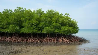
A Delta on the Edge
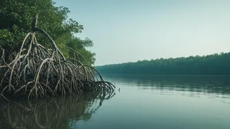
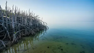
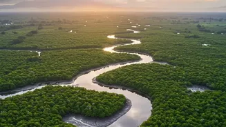
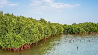
The Sundarbans, the world's largest mangrove forest, is a UNESCO World Heritage Site and a critical natural barrier protecting West Bengal's coast from cyclones and storm surges. This unique delta, home to millions of people and the iconic Bengal tiger,
is facing an existential crisis. Rising sea levels, which are increasing at a faster rate here than along much of the Indian coast, combine with land subsidence to create a perfect storm of coastal erosion. Over the past few decades, significant landmass has been lost to the sea, with islands like Ghoramara shrinking and Lohachara disappearing entirely. This constant erosion and increasingly frequent tidal flooding threaten livelihoods, homes, and the very existence of this vital ecosystem.
Introducing a Digital Sentry
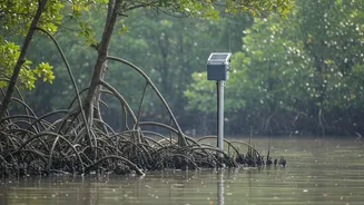
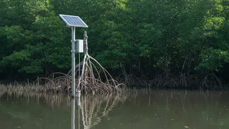
In this high-stakes environment, traditional monitoring methods are often too slow. By the time data is collected and analysed, the landscape may have already changed. This is where telemetry networks come in. These systems use a network of sensors placed strategically across the delta to collect environmental data automatically. The information, covering everything from water levels to soil salinity, is then transmitted wirelessly in real-time to a central server. This technology, often leveraging the Internet of Things (IoT), acts as a digital nervous system for the ecosystem, providing a continuous stream of information that was previously impossible to gather. It replaces sporadic, time-consuming manual checks with constant, vigilant oversight.
How the Network Operates
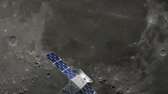
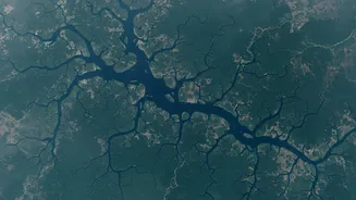
The telemetry network in the Sundarbans involves deploying a variety of sensors. Tide gauges, installed in the complex network of rivers and creeks, measure tidal water levels with high frequency, often every 15 minutes. These help track the amplification of tides as they move inland, which is a key factor in flooding. Other sensors monitor erosion rates, salinity, and wave height. This data is complemented by satellite imagery and remote sensing techniques, which provide a broader picture of mangrove health and shoreline changes over time. Together, this fusion of ground-based and satellite data creates a comprehensive, multi-layered view of the dynamic processes shaping the delta.
From Data to Decisive Action
The true power of this real-time data lies in its ability to inform immediate and long-term action. For communities living on the islands, timely information on tidal surges can be a lifesaver, providing crucial extra hours for evacuation and the protection of assets. For scientists and environmental managers, the data is invaluable. It helps identify hotspots of erosion, allowing authorities to target mangrove plantation drives and embankment strengthening projects more effectively. Understanding how freshwater flow and salinity patterns are changing helps in managing the health of the mangrove forest, which is sensitive to high salinity. This detailed, real-time understanding enables a shift from a reactive to a proactive approach in managing this fragile environment.