






The Official Forecast: Drier and Warmer
The IMD has predicted that rainfall over India as a whole is most likely to be below normal in September. This is defined as rainfall less than 91% of the Long Period Average (LPA) of 167.9 mm. The forecast follows a drier-than-usual August, which was
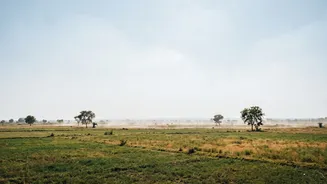
also the warmest August recorded in India since 1901. The primary driver for this subdued monsoon activity is the strengthening El Niño condition in the Pacific Ocean, which is historically linked to weaker rains in India. In addition to less rain, most of the country is also expected to experience above-normal maximum and minimum temperatures throughout the month.
A Tale of Two Forecasts: Regional Breakdown
The national forecast doesn't tell the whole story. While many parts of the country are expected to receive below-normal rainfall, some regions are likely to be exceptions. Pockets in northwest, northeast, east, east-central, and the southeast peninsula may experience normal to above-normal rainfall. For instance, active weather systems at the start of the month are bringing heavy rainfall to areas in central and eastern India. In contrast, Peninsular India is expected to see continued subdued rainfall activity. This variation means local conditions will differ significantly from the national average, making it essential to check regional forecasts.
What the Forecast Means for Households
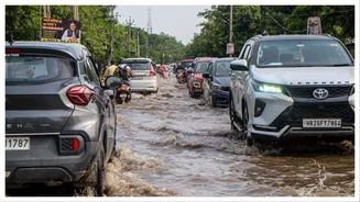
For households, a below-normal rainfall forecast has mixed implications. In urban areas prone to waterlogging, it might offer some respite from severe disruptions. However, the combination of less rain and higher temperatures can put a strain on water and power resources. The IMD has advised stakeholders to prepare for these conditions through measures like water conservation and efficient resource management. With cumulative rainfall for the monsoon season already running at a deficit, water levels in reservoirs will be a key factor to watch, affecting both drinking water availability and hydropower generation. The higher temperatures also increase the risk of heat stress in many regions.
Guidance for September Travellers
September is often considered a 'shoulder season' for travel in India, with fewer crowds and potentially lower prices before the peak tourist season begins in October. However, the weather remains a critical factor. The current forecast suggests that while the chances of widespread, continuous downpours are lower, travellers should not become complacent. Short, intense spells of heavy rain can still occur locally, especially in the regions predicted to have normal or above-normal rainfall. It is crucial to check local weather reports and road conditions before travelling, especially if heading to hilly areas or regions known for landslides. Packing layers, including a light rain jacket, remains a sensible strategy.
Impact on Agriculture and Monsoon Withdrawal
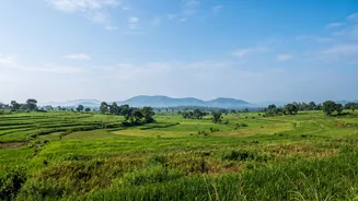
The September outlook carries significant weight for the agricultural sector. The final month of the monsoon is critical for the maturing of summer-sown (Kharif) crops like rice, soybeans, and pulses. A rainfall deficit could impact yields and also reduce the necessary soil moisture for planting the upcoming winter (Rabi) crops, such as wheat. This follows an already challenging August for many farmers. Concurrently, the monsoon is expected to begin its withdrawal process. Forecasts suggest the retreat could start from parts of extreme northwest India on schedule, sometime between September 10 and 20.