






A Tale of Two Systems
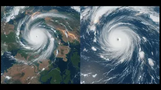
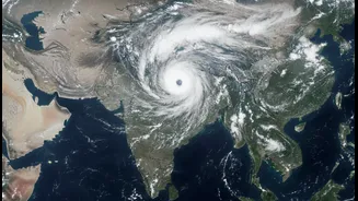
India is currently under the influence of two separate, powerful monsoon systems, one brewing over the Bay of Bengal and another over the Arabian Sea. The first is driving intense rainfall across eastern and northeastern states like West Bengal and Assam,
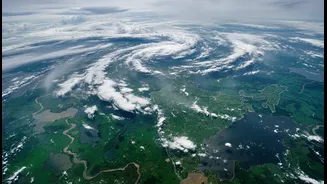
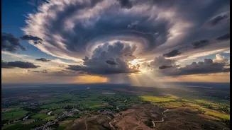
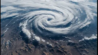
while the second is drenching the west coast, including Maharashtra and the Konkan region. Recent satellite imagery from the India Meteorological Department (IMD) and ISRO shows vast cloud masses associated with both systems, responsible for the widespread downpours, waterlogging in cities, and flood alerts issued across several states. The simultaneous activity of these systems makes tracking their movement and intensity a complex but critical task.
The View From 36,000 Kilometres Up
This is where India's space technology comes in. From geostationary orbit, thousands of kilometres above the Earth, a constellation of satellites provides a constant stream of invaluable data. The INSAT series, particularly INSAT-3D and INSAT-3DR, are India's dedicated eyes for meteorology. These advanced spacecraft are equipped with imagers and sounders that do much more than just take pictures of clouds. They operate across multiple spectrums, including visible, infrared, and water vapour channels, allowing meteorologists to see weather patterns day and night. They can map cloud thickness, height, and even differentiate between low fog and high-altitude storm clouds.
From Pixels to Predictions
The raw data from these satellites is the lifeblood of modern weather forecasting. The atmospheric sounders on INSAT-3D and 3DR provide vertical profiles of temperature and humidity through the atmosphere, crucial inputs for numerical weather prediction (NWP) models. These complex computer models simulate the behaviour of the atmosphere to forecast weather conditions. The constant flow of satellite data—on cloud movement, sea surface temperatures, and atmospheric moisture—makes these models significantly more accurate. This improved accuracy is what allows the IMD to issue timely warnings about heavy rainfall, thunderstorms, and potential flooding with greater confidence and longer lead times.
Beyond the Daily Forecast
The importance of satellite data extends far beyond just knowing if you need an umbrella. For a country as reliant on the monsoon as India, this information is vital for the entire economy. Accurate monsoon tracking helps in issuing advisories to farmers about sowing and irrigation, which impacts agricultural output for the year. It is indispensable for disaster management, enabling authorities to prepare for cyclones and evacuate vulnerable coastal populations, a process where India has drastically reduced loss of life. Furthermore, the data aids in managing water resources by providing insights into rainfall over river catchments, which is essential for operating dams and preventing floods.
A Clearer Picture of Our Climate
As weather events become more extreme, the role of satellites only grows. The current spell of intense rain from two simultaneous systems, even during a year with a predicted El Niño effect, shows how complex regional weather dynamics are becoming. Continuous monitoring from space provides the high-resolution, large-scale view needed to understand these evolving patterns. It helps scientists and forecasters distinguish between normal weather variability and the long-term impacts of climate change, which is making rainfall more intense and erratic. By providing a constant, objective feed of information, our satellites give us the clarity needed to navigate a more uncertain climate future.