
A Delta on the Edge
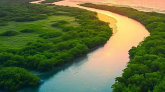
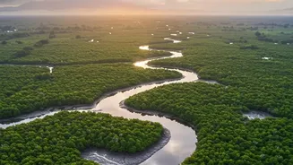
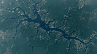
The Sundarbans, the world's largest mangrove forest straddling India and Bangladesh, is a land of immense beauty and inherent risk. This low-lying delta is a complex network of rivers, channels, and islands, making it uniquely vulnerable to the devastating
impacts of cyclones and tidal surges from the Bay of Bengal. Sea levels here are rising at more than twice the global average, increasing the frequency and intensity of sudden floods. Events like Cyclones Amphan (2020) and Yaas (2021) have shown the catastrophic potential of these surges, which can submerge entire villages, contaminate freshwater sources with saline water, and destroy agricultural lands, leaving communities devastated. This constant threat makes reliable early warning and mitigation strategies not just important, but essential for survival.
Nature’s First Line of Defence
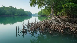
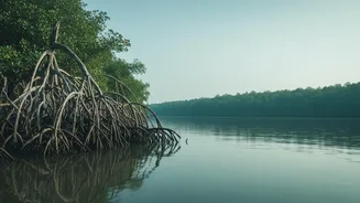
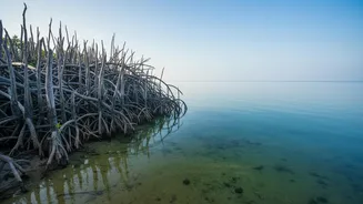
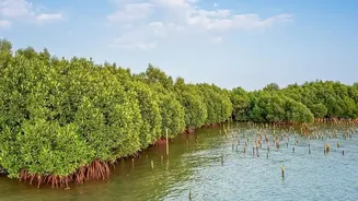
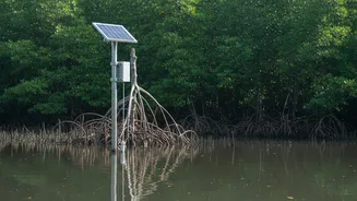
The region's greatest natural protector is the mangrove forest itself. These dense forests act as a biological shield, a living sea wall whose tangled root systems and thick canopies absorb the energy of tidal waves and reduce wind speeds. They stabilise the shoreline, prevent soil erosion, and significantly lessen the impact of storm surges before they can reach inland settlements. Studies have shown that areas with healthy mangrove cover suffer significantly less damage during cyclones. However, this green shield is under immense pressure from climate change, rising salinity, and human activities, leading to degradation and loss of forest cover. A weaker mangrove forest means a more vulnerable coastline, directly increasing the flood risk for millions.
Eyes in Orbit Watching Over
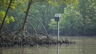
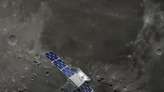
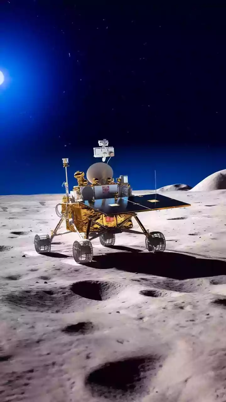
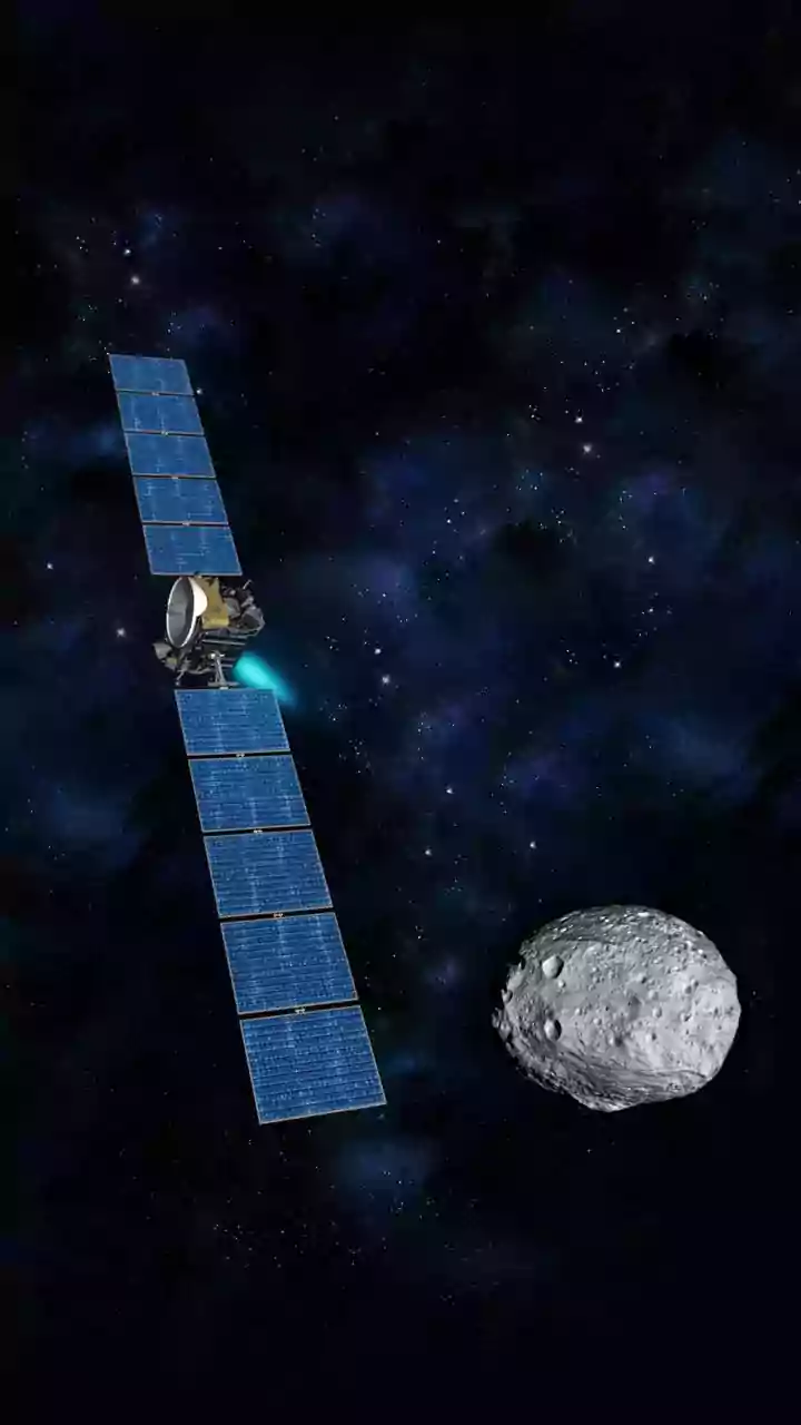
This is where modern technology steps in. Monitoring the health of this vast, often inaccessible forest from the ground is nearly impossible. Instead, scientists and disaster management agencies now rely on satellite-based remote sensing. Satellites from agencies like ISRO and NASA, including the Sentinel series, provide a constant stream of data from space. They use different types of sensors to get a comprehensive picture. Optical sensors provide high-resolution images, much like a powerful camera, while radar sensors have the advantage of being able to see through clouds, which is crucial during cyclone season. Advanced technologies like LiDAR can even measure the forest's three-dimensional structure, including tree height and density.
Turning Pixels into Predictions
The data collected by these satellites is far more than just pictures. Scientists use specialised techniques to analyse these images and extract vital information about the mangroves' health. One of the most common methods is the Normalised Difference Vegetation Index (NDVI), which measures the 'greenness' and density of the vegetation, acting as a proxy for plant health. A declining NDVI value in a particular area can indicate that the mangroves are stressed, thinning, or dying. By tracking these changes over time, experts can identify vulnerable patches in the coastal defence. This information, combined with data on land elevation, tide patterns, and weather forecasts, is fed into sophisticated models that can predict which areas are most susceptible to inundation during a storm surge or extreme high tide.
More Than Just a Flood Alarm
The use of satellite monitoring extends beyond immediate flood warnings. The data provides invaluable insights for long-term coastal management and conservation. By pinpointing areas of mangrove degradation, authorities can target reforestation and restoration efforts with much greater precision, ensuring resources are used effectively. This long-term monitoring helps track the success of these initiatives and informs adaptive management strategies for the entire ecosystem. Furthermore, this technology helps in mapping shoreline changes, assessing the rate of erosion, and understanding the complex interplay between the river systems and the sea. Ultimately, by ensuring the health and resilience of the mangrove ecosystem, this technology helps preserve not only lives and property but also the unique livelihoods and culture intertwined with the forest for centuries.