






The Challenge with Seeing Clearly
For decades, scientists have relied on satellites to monitor Earth’s health. These eyes in the sky track everything from melting ice caps to shrinking forests. However, they have often provided an incomplete picture. Cloud cover, darkness, and the sheer
scale of our planet have created persistent data gaps. Trying to measure subtle, slow-moving changes like the gradual sinking of a coastline or the thinning of a glacier has been like trying to read fine print from a moving car. Without a consistent, crystal-clear baseline—a definitive starting point—tracking long-term environmental trends accurately has been an enormous challenge. This has hampered our ability to model future changes and create effective policies. We haven’t just needed more data; we have needed fundamentally better, more reliable data.
A New Sentinel in Orbit: NISAR
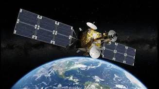
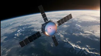
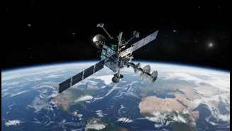
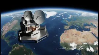
Enter the NASA-ISRO Synthetic Aperture Radar, or NISAR. A landmark $1.5 billion joint mission between the US space agency (NASA) and the Indian Space Research Organisation (ISRO), this satellite is not just another camera in space. Launched in the latter half of 2025, NISAR was designed from the ground up to overcome the limitations of past technologies. It represents more than a decade of collaboration and is arguably the most sophisticated Earth-observing radar satellite ever built. Its mission is to provide a unified, highly detailed, three-dimensional view of Earth’s surfaces. By making its data freely available to the public, NISAR aims to democratise climate science and empower researchers, governments, and disaster response teams across the globe.
The Power of Two Radars
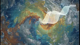
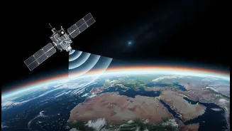
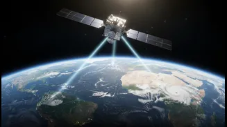
What makes NISAR a true game-changer is its unique technology. It is the world’s first satellite to use two different radar frequencies simultaneously: the L-band from NASA and the S-band from ISRO. Think of it as having two types of vision. The longer wavelength L-band radar can peer through clouds, darkness, and even dense forest canopies to see changes on the ground itself, such as soil moisture or deforestation. The shorter wavelength S-band is highly sensitive to the planet's surface, tracking things like vegetation cover and subtle shifts in topography. By combining the data from these two systems, NISAR can detect changes in Earth’s surface as small as a single centimetre from its orbit 747 kilometres above. This all-weather, day-and-night capability ensures an uninterrupted stream of data, eliminating the blind spots that have plagued previous missions.
Mapping the Planet Every 12 Days
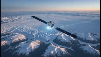
Precision is nothing without consistency. NISAR’s other superpower is its relentless rhythm. The satellite is designed to scan nearly the entire planet every 12 days. This regular, repeating cycle allows scientists to build an incredibly precise timeline of changes occurring anywhere on the globe. It can systematically track the retreat of Himalayan glaciers, monitor the subtle bulging of the ground that might precede a volcanic eruption, measure the rate at which land is subsiding in coastal cities, and assess the health of agricultural lands with unmatched detail. This steady drumbeat of data creates the robust, high-fidelity baselines that have been missing, enabling us to move from estimation to near-certainty when measuring the pulse of our planet.
What It Means for India
For India, the NISAR mission is a source of both national pride and immense practical benefit. The involvement of ISRO in developing the S-band radar and launching the satellite from the Satish Dhawan Space Centre marks a defining moment in India-US space cooperation. The data from NISAR will have direct and powerful applications here at home. More accurate monitoring of Himalayan ice sheets will improve our understanding of water flows into the major rivers of northern India. High-resolution data on soil moisture and crop health can help revolutionise precision agriculture, boosting food security in a changing climate. Furthermore, the satellite’s ability to detect tiny land deformations will significantly enhance early warning systems for earthquakes and landslides, potentially saving countless lives in vulnerable regions. By providing this vital information freely, NISAR empowers Indian scientists and policymakers with the tools needed to better manage resources and protect communities.