



Understanding Synthetic Aperture Radar
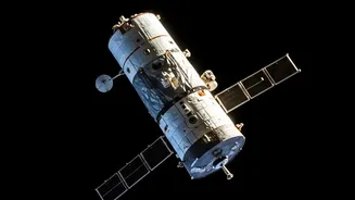
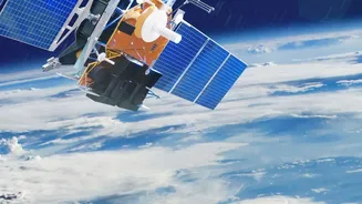
Synthetic Aperture Radar, or SAR, is a powerful remote sensing technology that differs significantly from the optical satellite images most people are familiar with. Instead of passively capturing sunlight reflected from the Earth's surface, SAR is an active
system. It works by sending out its own microwave pulses from a satellite or aircraft and then recording the 'echo' that bounces back. This process allows it to generate high-resolution images regardless of weather conditions like clouds, rain, or smoke, and it can operate just as effectively at night as it can during the day. This all-weather, 24/7 capability is what makes SAR a game-changing tool for Earth observation.
Inside the ISRO Training Curriculum
ISRO, primarily through its Indian Institute of Remote Sensing (IIRS) in Dehradun, regularly offers a variety of free online and in-person courses on geospatial technologies. Specific courses focusing on SAR data processing aim to build expertise in this advanced field. A typical curriculum introduces participants to the basic principles of microwave remote sensing before diving into the core concepts of SAR. Key modules often cover SAR data processing, analysis of SAR polarimetry (which provides details on the physical properties of the surface), and interferometry (InSAR), a technique used to detect minute changes in the Earth's surface, down to the millimetre. The courses are designed to be hands-on, often using open-source software and real-world case studies to provide practical skills.
Real-World Applications You Can Master
The skills learned in an ISRO SAR course have direct applications across numerous critical sectors in India. For disaster management, SAR is invaluable for mapping the extent of floods, assessing damage after earthquakes or cyclones, and identifying areas at risk of landslides. In agriculture, the technology helps in monitoring crop health, soil moisture, and classifying different crop types, which can lead to better yield forecasting and resource management. SAR also has significant applications in geology, forestry, and monitoring vital environmental changes like deforestation and glacier movement. Furthermore, its surveillance capabilities make it a crucial asset for national security and defence operations.
Who Should Enrol in These Courses?
ISRO's outreach programmes are designed for a wide audience. The courses are typically open to undergraduate and postgraduate students, researchers, and academics. They also cater to professionals and technical staff from central and state government agencies who are involved in fields like disaster management, urban planning, or natural resource management. The goal is to build a skilled workforce that can effectively utilize the vast amounts of data generated by India's own SAR satellites, like the RISAT series, and the joint NASA-ISRO mission, NISAR. Some courses may be introductory, while others are advanced and may require prior knowledge of remote sensing.
The ISRO Advantage: Learning from the Source
Learning about SAR technology directly from ISRO offers a unique advantage. The courses are developed and delivered by subject matter experts and scientists who are at the forefront of India's space programme. Participants get to work with data from ISRO's own missions and learn processing techniques using methodologies developed in-house. These courses, often provided for free, are part of ISRO's broader mission to strengthen the use of space technology across the country. Successful completion often results in a certificate, adding significant value to a student's or professional's profile and opening up career opportunities in the rapidly growing geospatial industry.