

A Disappearing Natural Fortress
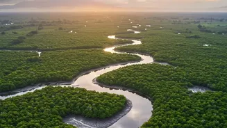
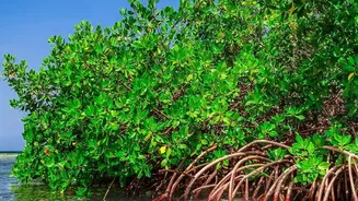
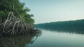
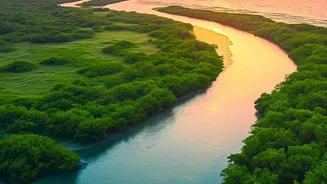
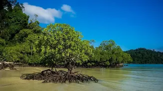
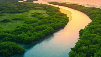
The Sundarbans, a UNESCO World Heritage Site spread across India and Bangladesh, is more than just a forest; it is a dynamic coastal buffer against storm surges and cyclones for millions. This unique ecosystem, home to the Royal Bengal Tiger, is facing
a severe threat: coastal erosion. Over the last few decades, a combination of rising sea levels, reduced sediment flow from upstream dams, and increasingly frequent and intense cyclones has caused huge tracts of land to vanish into the Bay of Bengal. Studies have shown significant mangrove loss, with some estimates indicating the disappearance of over 100 square kilometres in the Indian Sundarbans between 2000 and 2020 due to erosion. For the vulnerable communities that depend on the forest for their livelihood, this erosion is not a distant threat but a daily reality, as homes and agricultural lands are consumed by the sea.
The Technology: Eyes in the Sky
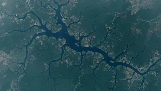
Monitoring a complex and often inaccessible terrain like the Sundarbans is a monumental challenge. This is where satellite sensor technology comes in. Orbiting hundreds of kilometres above Earth, satellites from programs like the Landsat (USA) and Sentinel (Europe) series provide a consistent and long-term view of the entire coastline. These are not ordinary cameras. They are equipped with multi-spectral sensors that capture data across different wavelengths of light, allowing them to distinguish with high precision between land, water, and vegetation. Another crucial technology is Synthetic Aperture Radar (SAR), which has the superpower of being able to see through clouds and even at night. This is particularly vital for the Sundarbans, which is frequently covered by clouds during the monsoon season when some of the most dramatic changes can occur. The upcoming NISAR mission, a joint project by NASA and ISRO, will use advanced dual-frequency SAR to monitor changes in Earth's surface with unprecedented detail.
From Pixels to Precise Measurements
So, how do scientists convert satellite images into hard data on erosion speeds? The process is a powerful mix of data science and environmental analysis. It begins by collecting a time-series of images of the same area, sometimes spanning several decades. Using automated algorithms, scientists identify the exact land-water boundary, or shoreline, in each image. To ensure accuracy, they must correct for tidal variations, as the water line can shift significantly between high and low tide. Once a series of corrected shorelines is established, a simple comparison reveals the change. By measuring the distance the shoreline has retreated or advanced between two dates, they can calculate an annual rate of erosion or accretion (land gain) in metres per year for every part of the coast. This allows them to create detailed maps showing 'hotspots' of severe erosion. Some islands have seen coastlines retreat by as much as 40 metres in a single year.
What the Data Reveals
The data painted by these satellite studies is alarming. Analysis has shown that the Sundarbans mangrove ecosystem is classified as endangered. It has lost a significant percentage of its area over the past three decades, with erosion being a primary driver. For instance, a 2021 study highlighted that about 110 square kilometres of mangrove forest within the Indian Sundarbans reserve disappeared due to erosion over a 20-year period. While some new land has formed elsewhere, this gain often occurs outside the protective, contiguous forest area. Scientists also use satellite data to assess the health of the remaining mangroves. By calculating the Normalised Difference Vegetation Index (NDVI), an indicator of plant health derived from satellite imagery, they can identify areas where the forests are stressed and less resilient to damage from cyclones and salinity, making them more prone to future erosion.
Informing the Fight for Survival
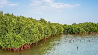
This satellite-driven data is not just an academic exercise; it's a critical tool for survival. By precisely identifying the most vulnerable areas, this information helps governments and conservation agencies prioritize their efforts. It guides the strategic placement of hard structures like embankments and the implementation of nature-based solutions, such as mangrove replanting initiatives, which help trap sediment and stabilize the coastline. Furthermore, near real-time monitoring after extreme weather events, like a major cyclone, allows for rapid damage assessment of both the mangrove shield and human infrastructure. This enables a faster and more effective response to protect the lives and livelihoods of the millions who call this fragile region home.