



The Power of All-Weather Vision
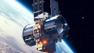
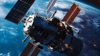
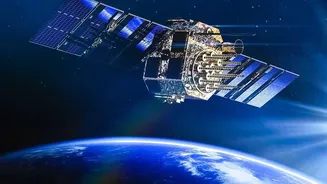
Synthetic Aperture Radar is a game-changing remote sensing technology. Unlike traditional optical satellites that need clear skies and daylight, SAR systems can capture highly detailed images of the ground anytime, in any weather. This makes it invaluable
for a country like India, which experiences diverse and often challenging weather patterns like monsoons. The technology is crucial for applications ranging from disaster management during floods and cyclones to monitoring agricultural health, tracking deforestation, and ensuring national security. Recognizing this, ISRO, through its premier training centre, the Indian Institute of Remote Sensing (IIRS), frequently conducts courses to build national capacity in this advanced field.
A Deep Dive Into the Curriculum
While specific course modules can vary, the core of ISRO's SAR training is designed to provide a comprehensive understanding of the technology from theory to application. Participants are typically introduced to the basic principles of microwave remote sensing before diving into advanced topics. The curriculum often includes SAR data processing, analysis of SAR polarimetry (which helps in classifying different surface types), and interferometry (InSAR), a sophisticated technique used to detect minute changes in the Earth's surface. Many courses, often delivered through a Massive Open Online Course (MOOC) format, also feature hands-on sessions using open-source software and real-world case studies with data from Indian and international SAR missions.
Is This Course Right For You?
ISRO's training programmes are designed for a wide range of individuals who can leverage geospatial technology in their work. The primary audience includes postgraduate students (in fields like Earth sciences, geology, civil engineering) and technical or scientific staff from central and state government bodies. Researchers and faculty from universities and academic institutions are also strongly encouraged to apply. Essentially, if your work involves land use planning, disaster response, environmental monitoring, agriculture, or geological surveys, this training can provide a significant professional edge. Some specialised courses may have prerequisites, such as a basic knowledge of remote sensing and GIS.
The Application Process Explained
One of the most significant aspects of these courses is that they are often offered free of charge, making advanced learning accessible to a broad audience. Prospective participants should keep a close watch on the official websites of ISRO and IIRS for announcements. Registration is typically done online through the IIRS portal. The process usually involves creating an account, filling in personal, educational, and professional details, and selecting the desired course. Given the popularity and sometimes limited seats for these programmes, applications are often accepted on a first-come, first-served basis, so timely registration is key.
Beyond the Certificate: Real-World Impact
Completing an ISRO SAR course is more than just adding a certificate to your profile. It's about acquiring skills that are in high demand and can create tangible impact. With the upcoming launch of the joint NASA-ISRO SAR (NISAR) mission, which will provide a wealth of open-access data, the demand for skilled analysts is set to explode. Professionals trained in SAR can contribute to more effective disaster relief operations by mapping flood inundation through cloud cover. They can help in urban planning by monitoring infrastructure changes, and in agriculture by assessing soil moisture and crop health. This training empowers individuals to contribute directly to India's development, turning satellite data into actionable intelligence that can save lives, protect resources, and build a more resilient nation.