
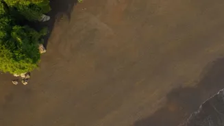

More Than Just Lost Land
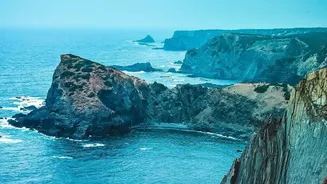
For decades, the primary concern around coastal erosion has been the direct loss of land, threatening homes, infrastructure, and natural habitats. However, scientists are now highlighting a less visible but equally critical consequence. Coastal environments
like marshes, wetlands, and Arctic permafrost are enormous natural reservoirs of carbon, locked away in soil and plant matter over thousands of years. As these coastlines crumble due to rising sea levels, increased storm activity, and human development, this ancient carbon is being released. A recent NASA-supported study focusing on the US Atlantic and Gulf Coasts found that eroding marshes are releasing approximately 660,000 metric tons of carbon into the ocean each year. This changes the equation, reframing coastal erosion from a local issue of receding shorelines into a global issue of carbon cycle disruption.
The Carbon Release Mechanism
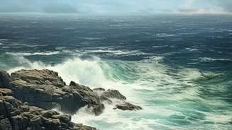
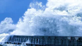
The process is fundamentally one of exposure. In stable coastal ecosystems, particularly wetlands and permafrost regions, organic matter from dead plants is buried and stored in oxygen-poor conditions, preventing it from decomposing and releasing its carbon. This is often referred to as "blue carbon." Erosion acts like a key, unlocking this vault. When waves and storms chew away at a coastal bluff or marsh, they expose this long-buried organic material to oxygen and microbes in the water. These microbes then decompose the material, converting the stored carbon into greenhouse gases like carbon dioxide, which can be released into the atmosphere or dissolved in the ocean. While some carbon is quickly re-buried in offshore sediments, a significant portion enters the active carbon cycle, contributing to the planet's greenhouse gas burden.
The Scale of the Problem
The numbers are substantial enough to warrant a reassessment of global carbon budgets. Permafrost coasts in the Arctic alone are estimated to hold around 1.3 trillion metric tons of carbon. Research suggests that as these frozen coastlines thaw and erode, they could release up to 16.5 million tons of this carbon into the Arctic Ocean annually. Along the US coast, the net loss from marshes—after accounting for new growth—is around 380,000 metric tons of carbon per year. The Mississippi River Delta, which has seen accelerated erosion after major hurricanes, was identified as a particular hotspot, moving more coastal carbon than the entire Eastern seaboard combined. These findings are crucial because many climate models have not fully accounted for this lateral transfer of carbon from land to ocean, potentially underestimating a significant source of emissions.
NASA's Role and Future Outlook
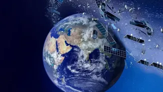
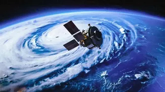
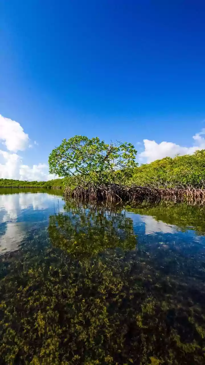
Understanding a phenomenon of this scale requires a high-level view, which is where NASA's expertise comes in. Researchers are using decades of data from satellites like Landsat, combined with lidar elevation data, to track changes in coastal marshlands with unprecedented accuracy. This allows them to quantify marsh loss over vast areas and across time, identifying hotspots and calculating the associated carbon release. Projects like NASA's BlueFlux campaign are also conducting intensive fieldwork to measure the exchange of carbon dioxide and methane in coastal ecosystems like mangrove forests. This combination of satellite observation and on-the-ground measurement is helping scientists build more accurate models of the Earth's carbon cycle. These improved models are vital for predicting future climate scenarios and for informing policies aimed at both protecting coastal communities and mitigating climate change.