



What Exactly Is SAR?
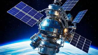
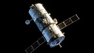
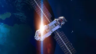
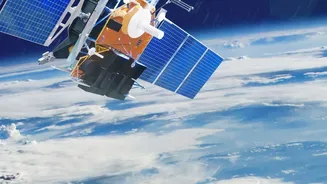
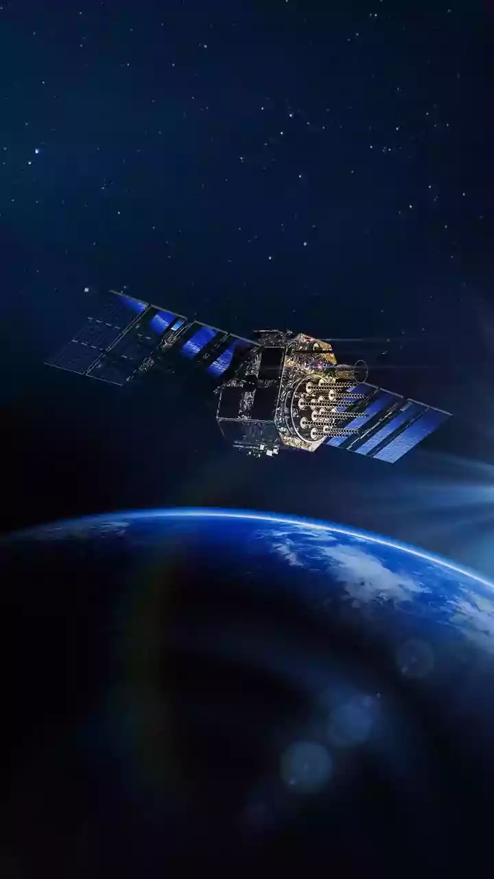
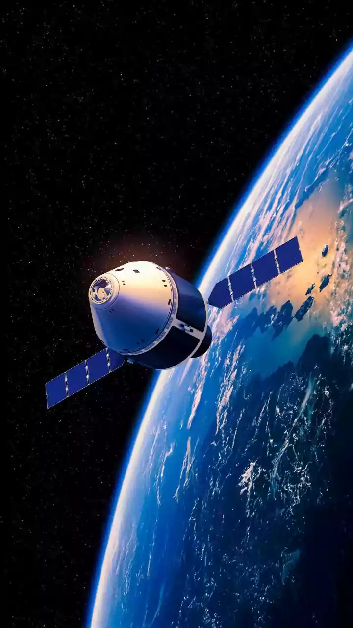
Think of SAR as a satellite with superpowers. Unlike standard optical satellites that are essentially cameras in space, SAR is an active system. It sends out its own microwave pulses and reads the echoes that bounce back. This means it can 'see' through
clouds, smoke, and even in complete darkness, providing high-resolution images of the Earth's surface day or night, regardless of weather. The 'synthetic aperture' part is clever engineering: by using the satellite's motion, a small antenna can computationally create a much larger 'virtual' one, allowing for incredibly detailed imagery.
Why This Technology Is Crucial for India
ISRO has been a pioneer in using SAR for national development. Satellites like the RISAT (Radar Imaging Satellite) series are workhorses for the country. Their all-weather imaging capability is vital for disaster management, allowing authorities to monitor floods, cyclones, and landslides in real-time. Beyond emergencies, SAR data is used for agricultural monitoring to forecast crop yields, ensuring food security. It also helps in urban planning, monitoring deforestation, and safeguarding our borders, making it an indispensable tool for a growing nation. The upcoming NISAR mission, a joint project between NASA and ISRO, will further enhance these capabilities.
ISRO’s Gateway for Space Education
For students aspiring to work with such advanced technologies, the primary gateway is the Indian Institute of Remote Sensing (IIRS) in Dehradun, a premier training centre under ISRO. IIRS is dedicated to building capacity in geospatial technologies. It offers a wide array of programmes, from short-term certificate courses to postgraduate degrees like M.Tech and M.Sc. These courses are designed for fresh graduates, working professionals, and researchers, covering the full spectrum of remote sensing and geo-informatics.
Learning the Ropes of Remote Sensing
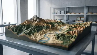
The training at IIRS and through its online outreach programmes goes far beyond theory. Students learn the practical skills needed to turn raw satellite data into actionable intelligence. This includes digital image analysis, understanding microwave remote sensing principles, and mastering software used to process SAR data. Courses often focus on specific applications, such as using SAR for land deformation studies, cryosphere monitoring, or geological mapping. By working with real-world case studies, participants gain hands-on experience in interpreting complex SAR imagery and applying it to solve actual problems.
From Training to a Career in Space
Expertise in SAR and remote sensing opens doors to a variety of careers. Graduates can find opportunities within ISRO itself, contributing to missions that are critical for the nation. Furthermore, India's burgeoning private space sector is actively hiring geospatial analysts and remote sensing engineers. Companies like Pixxel and SatSure Analytics rely on this talent to build innovative products for agriculture, insurance, and infrastructure monitoring. There are also roles in government bodies focused on environmental management, urban development, and natural resource management, all of which increasingly depend on geospatial data.