







The Problem with 'Dumb' Data Collection
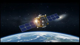
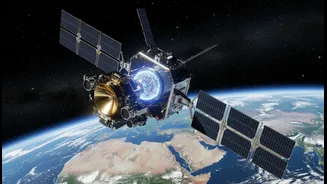
Orbiting our planet are hundreds of eyes in the sky, diligently capturing images of the Earth’s surface. These satellites are crucial for everything from weather forecasting to monitoring deforestation. However, they have traditionally operated on a simple,
somewhat inefficient principle: they photograph whatever they pass over and send everything back to base. The problem? A huge portion of our planet is covered by clouds at any given moment. NASA estimates that as much as 67% of all Earth imagery collected is obscured by clouds, rendering it useless for scientists on the ground. This means enormous amounts of energy, data storage, and bandwidth are wasted transmitting and storing cloudy pictures. It’s like having a security camera that records hours of an empty room. Scientists then have to sift through this mountain of data to find the valuable, cloud-free shots, a process that can take days. In a world where real-time information is critical, this delay is a significant bottleneck.
Introducing 'Dynamic Targeting'
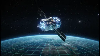
To solve this problem, NASA’s Jet Propulsion Laboratory (JPL) has developed a groundbreaking technology called Dynamic Targeting. At its core, it’s an artificial intelligence system that gives satellites the ability to make decisions on their own, without waiting for commands from Earth. Instead of being passive data collectors, satellites equipped with this AI become active, intelligent observers. The system has been in development for over a decade, but recent tests have proven its incredible potential. For the first time, a satellite was able to look ahead on its orbital path, analyze the scene with onboard AI, and decide whether or not to capture a detailed image. This transforms the satellite from a simple camera into a thinking robot in space, one that can prioritize what it captures.
How It Works: See, Think, Act in 90 Seconds
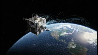
The process is remarkably fast and efficient. As the satellite speeds along at over 27,000 kilometres per hour, the Dynamic Targeting system performs a three-step loop. First, it tilts forward to scan the area it's about to fly over, taking a quick preview snapshot. Second, an onboard AI processor analyses this preview image in seconds, specifically looking for cloud cover. Third, it acts on that analysis. If the AI detects clear skies, it signals the satellite to tilt back and capture a high-resolution image of the ground below. If the view is obscured by clouds, it cancels the operation, saving its data storage and power for a better opportunity. The entire “see, think, act” cycle takes less than 90 seconds, all performed autonomously while hurtling through space. The recent tests were conducted aboard a small, briefcase-sized satellite called a CubeSat, demonstrating that this powerful technology can be deployed on smaller, more cost-effective platforms.
Beyond Clouds: A New Era for Disaster Response
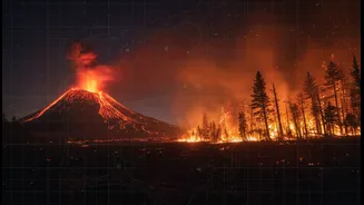
The ability to avoid clouds is just the beginning. The true game-changing potential of Dynamic Targeting lies in training the AI to spot specific, short-lived events. Scientists plan to expand the system to autonomously hunt for phenomena like wildfires, volcanic eruptions, floods, and harmful algal blooms. Currently, by the time a satellite passes over a disaster, captures the data, sends it to Earth, and has it processed, the critical window for response may have already passed. An AI-powered satellite, however, could spot a fledgling wildfire or the initial signs of a flash flood and immediately capture and transmit that targeted data. This would provide emergency response agencies, like India's National Disaster Management Authority (NDMA), with near real-time intelligence, allowing them to act faster and potentially save lives. Instead of waiting days, first responders could get high-quality images when they matter most.
What This Means for India
For a nation like India, which relies heavily on its space programme for economic development and public safety, this technological leap is profoundly relevant. The Indian Space Research Organisation (ISRO) already operates a sophisticated constellation of Earth observation satellites used for everything from crop-health monitoring to urban planning. Integrating 'smart' satellite technology could make these systems even more powerful. Imagine satellites that can autonomously track the progression of the monsoon, identify areas at immediate risk of flooding, or detect illegal mining operations without human intervention. This technology aligns perfectly with ambitious collaborative projects like the NASA-ISRO Synthetic Aperture Radar (NISAR) mission, which is designed to provide an unprecedented view of Earth's changing surface. As satellites become more intelligent, the data they provide will become more timely, relevant, and actionable, directly benefiting India’s agricultural sector, disaster management efforts, and climate change resilience.