





Echoes of a Lost Port
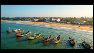
The Tamil Nadu coast has been a hub of global maritime trade for millennia. Ancient ports like Poompuhar, also known as Kaveripoompattinam, were once thriving capitals of the early Chola dynasty, celebrated in Sangam literature. These texts describe bustling
cities and trade with far-flung regions, but over centuries, many of these coastal settlements vanished, believed to be submerged by the sea due to floods or coastal erosion. For decades, these were just stories. But now, archaeologists from institutions like the National Institute of Ocean Technology (NIOT) and the Tamil Nadu State Department of Archaeology (TNSDA) are proving these legends have a basis in fact.
Painting the Seafloor with Sound
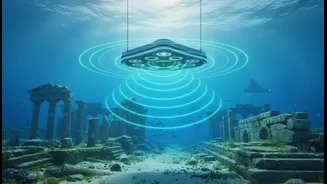
The first step in finding a submerged city is knowing where to look. Researchers combine historical records with geological data to narrow down potential sites. Then, the real high-tech work begins. The primary tool is advanced sonar. Think of it as painting a picture of the seafloor using sound waves instead of light. A research vessel travels back and forth across a designated area, sending sound pulses down to the seabed. The time it takes for these pulses to bounce back reveals the depth and shape of the ocean floor. The most crucial technologies used are multibeam echosounders and side-scan sonar. Multibeam echosounders create detailed 3D bathymetric maps, revealing the underwater landscape in high resolution. Side-scan sonar, towed like a fish behind the vessel, emits fan-shaped acoustic beams that capture photo-like images of the seafloor's surface, highlighting textures and objects.
Hunting for Anomalies
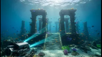
The raw sonar data is a massive collection of signals that sophisticated software processes into clear visual maps. Archaeologists then painstakingly study these images, looking for “anomalies”—anything that doesn't look like a natural formation. A perfectly straight line, a right-angled corner, or a U-shaped structure on the seabed are strong indicators of man-made construction. To look even deeper, they use a sub-bottom profiler. This instrument sends lower-frequency sound waves that can penetrate sediment, revealing structures that might be buried beneath metres of sand or mud, like the palaeo-channel of a submerged river.
Sending in the Robots
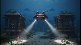
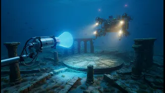
Once sonar identifies a promising target, the next phase is visual confirmation. In deep water, sending human divers is often too dangerous and expensive. Instead, archaeologists deploy Remotely Operated Vehicles (ROVs). These unmanned underwater robots are tethered to the ship and controlled by a pilot on board. Equipped with powerful lights and high-definition cameras, ROVs become the archaeologists' eyes in the deep, sending back real-time video of the target. This allows the team to confirm if an anomaly is a pile of rocks or the remains of a brick wall or stone structure, as has been found in explorations off Poompuhar and Mahabalipuram. This non-invasive survey method is critical for locating heritage without disturbing the underwater environment.
Piecing Together the Puzzle
The data from sonar mapping and ROV surveys provide concrete evidence of submerged heritage. At sites like Poompuhar, these methods have helped retrace locations first identified by archaeologist S.R. Rao decades ago, confirming the existence of man-made structures and other remains. By combining these technological findings with literary sources and artifacts recovered from inter-tidal zones—like terracotta ring wells and storage jars—archaeologists can piece together a more complete picture of these ancient port cities. This process helps confirm the accounts found in ancient Tamil literature and reconstruct the vibrant maritime history of the region, proving that the tales of sunken cities are more than just myths.