






A Junkyard in Orbit
Space may seem vast and empty, but the region just above Earth's atmosphere is anything but. It's a high-speed junkyard, filled with defunct satellites, spent rocket stages, and fragments from past collisions. More than 43,000 objects larger than 10 centimetres
are currently being tracked, but millions of smaller, untrackable pieces are also hurtling through space. Travelling at speeds approaching 28,000 km/h, even a paint chip can strike with enough force to cripple a billion-dollar satellite. This growing cloud of debris poses a significant risk to the space infrastructure that powers everything from GPS and weather forecasting to banking and national security. The threat is escalating, with the Indian Space Research Organisation (ISRO) performing an increasing number of collision avoidance manoeuvres (CAMs) each year to safeguard its fleet.
India’s Eyes in the Sky
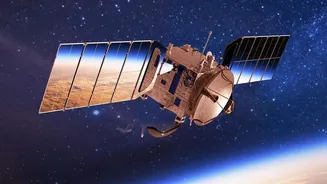
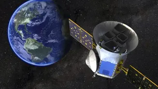
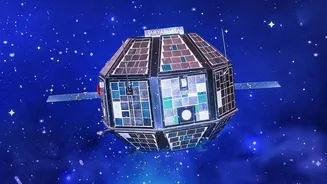
For India, protecting its satellites is a matter of national priority. The country operates a constellation of more than 50 active satellites, many of which are Earth-observation and remote-sensing spacecraft operating in Low Earth Orbit (LEO). This is the most congested orbital highway, where the risk of collision is highest. These satellites are the nation's eyes in the sky, providing vital data for agricultural planning, disaster management, urban development, and defence surveillance. Any damage to these assets could disrupt essential services and compromise national security. Recognizing this, ISRO has ramped up its efforts to monitor and mitigate the risks, moving from just a handful of avoidance manoeuvres a decade ago to dozens in recent years.
The High-Tech Shield: Project NETRA
At the heart of India's orbital defence strategy is Project NETRA (Network for Space Object Tracking and Analysis). This ambitious initiative is an early warning system designed to give India autonomous capability in Space Situational Awareness (SSA). Previously, ISRO relied heavily on data from international partners like the US Space Command. NETRA changes that by establishing a dedicated network of radars, telescopes, and data processing centres. This network can spot, track, and catalogue objects as small as 10 centimetres. The system’s control centre, located in Bengaluru, serves as the hub for all of ISRO's SSA activities, consolidating tracking data to predict threats to Indian satellites with greater accuracy and speed.
How AI Provides the Edge
While tracking debris is one part of the puzzle, sifting through the enormous amount of data to predict a potential collision is another. ISRO receives hundreds of thousands of close-approach alerts for its satellites annually. This is where Artificial Intelligence becomes a critical tool. In collaboration with academic institutions like IIIT-Delhi, ISRO is developing advanced AI and machine learning algorithms to automate the entire threat-detection pipeline. These AI systems can analyse vast amounts of tracking data in real-time, identify credible threats far faster than human operators, and predict the trajectory of debris with higher precision. This allows ISRO to make smarter, quicker decisions about when to move a satellite out of harm’s way.
A Nudge in Time
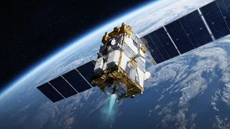
When the AI-powered analysis confirms a high-risk collision course, ISRO engineers execute a Collision Avoidance Manoeuvre (CAM). This involves firing the satellite’s onboard thrusters for a short duration to provide a gentle nudge, altering its orbit slightly to steer it clear of the approaching debris. Each manoeuvre must be carefully calculated, as it consumes precious fuel and can shorten the operational life of the satellite. It's a delicate balance between safety and longevity. In recent years, ISRO has successfully performed these manoeuvres for numerous assets, including the joint NASA-ISRO NISAR mission and the Chandrayaan-2 orbiter, demonstrating a robust capability to protect its high-value space infrastructure.