






What is This All-Seeing Eye?
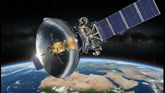
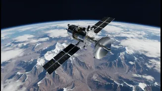
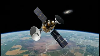
NISAR is a state-of-the-art Earth observation satellite, born from a landmark collaboration between the Indian Space Research Organisation (ISRO) and the United States' National Aeronautics and Space Administration (NASA). Launched from Indian soil, it is the first
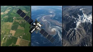
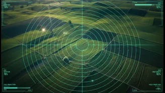
satellite to use two different radar frequencies—L-band and S-band—to create incredibly detailed maps of our planet's surface. Think of it as giving Earth a full-body scan every 12 days. What makes its radar vision truly special is its ability to see through clouds, darkness, and even dense forests, making it an invaluable asset for a country that experiences the heavy cloud cover of the monsoon season. This all-weather, day-and-night capability ensures a constant stream of reliable data, something optical satellites can't always provide.
A Revolution for Indian Agriculture
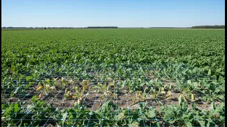
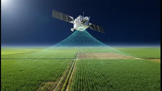
For India’s vast agricultural sector, NISAR is a game-changer. The satellite’s dual-frequency radar can precisely measure soil moisture at a high resolution, offering an unprecedented look at water availability for crops across the country. This allows for smarter irrigation, helping farmers know exactly when and how much water their fields need, which is critical for conserving water and improving crop yields. Furthermore, by tracking crop growth, health, and biomass from planting to harvest, NISAR will provide vital data for everything from predicting harvests to shaping crop insurance policies. It will help distinguish between different types of crops and monitor the overall health of agricultural lands, empowering both small farmers and national policymakers with timely, actionable information.
A Shield Against Natural Disasters
India's diverse geography makes it vulnerable to a range of natural hazards, from Himalayan landslides to coastal cyclones. NISAR is set to become a crucial tool in the nation's disaster management toolkit. Its radar is sensitive enough to detect tiny changes in the Earth's surface, as small as a centimetre. This allows it to monitor ground movement that could signal an impending landslide or volcanic activity. For a country with a significant portion of its land in seismic zones, NISAR’s ability to provide insights into fault movements can enhance earthquake hazard assessment. In the event of a flood or cyclone, the satellite can rapidly map the extent of the damage, even through storm clouds, helping first responders direct their efforts more effectively and saving precious lives.
Monitoring the Nation’s Lifelines
Beyond farms and disaster zones, NISAR will keep a close watch on India’s critical infrastructure and changing environment. It will monitor the health of glaciers in the Himalayas, providing crucial data on the water sources that feed India's major rivers. It will track changes in forests and wetlands, helping to manage precious natural resources. The satellite will also observe coastal erosion and changes in sea level, offering vital information for protecting coastal communities. Even the slow sinking or shifting of land in urban areas, known as subsidence, can be tracked, which is essential for ensuring the long-term stability of buildings and infrastructure in India's rapidly growing cities.
India's Data, India's Benefit
While NASA provided the L-band radar, ISRO developed the S-band radar, which is tailored to address applications of particular relevance to India. This includes monitoring agricultural biomass, studying Himalayan glaciers, and observing coastal processes. All data collected by NISAR will be free and openly available to the public, a move that democratises access to critical environmental information. For India, this means researchers, government agencies, and entrepreneurs will have a wealth of high-quality data to drive innovation and develop solutions for some of the country's most pressing challenges. It represents not only a technological leap but also a strategic asset for national planning and sustainable development.