



The View From 36,000 Kilometres
Before the satellite era, meteorologists relied on a scattered network of ground stations, weather balloons, and ships to understand the atmosphere. This left vast blind spots, especially over oceans where major weather systems like cyclones are born.
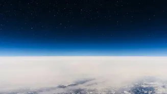
Satellites provided the ultimate vantage point. From space, we can see the entire atmospheric system as a whole, observing how clouds form, move, and dissipate in real-time. This continuous, bird's-eye view is the single biggest leap in modern meteorology, allowing forecasters to see weather patterns developing long before they reach land. Without this perspective, early warnings for major storms would be impossible.
The Two Key Players in Orbit
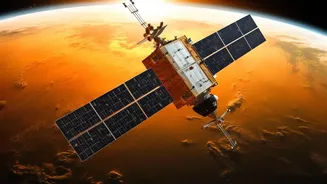
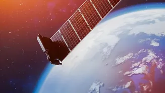
Not all weather satellites are the same; they operate in two distinct orbits. Geostationary satellites, like India's INSAT series, are positioned about 36,000 kilometres above the equator. They orbit at the same speed as the Earth's rotation, meaning they remain fixed over one spot. This allows them to continuously monitor a specific region, providing a constant stream of images that can be looped to track fast-developing storms like cyclones and thunderstorms. The second type is polar-orbiting satellites. Flying much closer to Earth, at altitudes around 800 kilometres, they pass over the north and south poles. As the planet rotates beneath them, these satellites scan the entire globe twice a day, providing high-resolution data on temperature and moisture for longer-term forecasting models. Together, these two types of satellites provide a complete picture of global weather.
More Than Just Visible Pictures
Modern weather satellites do much more than take simple photos. They carry advanced instruments called radiometers that capture information across different wavelengths of light. While visible imagery shows us the clouds we can see with our eyes, infrared channels measure heat. This allows forecasters to determine the temperature of cloud tops; colder, higher clouds often indicate more powerful storms. Other instruments measure the amount of water vapour in the atmosphere, a key ingredient for rain and storms. Specialized microwave sounders can even 'see' through clouds to measure temperature and moisture profiles throughout the atmosphere, data that is crucial for numerical weather models. India's INSAT-3D and INSAT-3DR, for example, carry both an imager and a sounder to create a three-dimensional picture of the atmosphere.
Taming the Cyclone
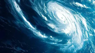
For a country like India with a long coastline, the ability to track cyclones is a matter of life and death. This is where satellites have proven most valuable. Satellite remote sensing is the primary tool for monitoring cyclones, which form over the vast, data-sparse ocean. Forecasters use geostationary satellites to detect the initial formation of a tropical depression. By analysing the cloud patterns and measuring sea surface temperatures, they can estimate a storm's intensity and track its path with remarkable accuracy. India's INSAT satellites can provide images as frequently as every 15 minutes, allowing for near-constant surveillance of a cyclone's movement and development. This provides the critical lead time—often several days—for authorities to issue warnings and carry out large-scale evacuations, dramatically reducing loss of life.
Understanding the Monsoon's Pulse
The monsoon is the lifeblood of the Indian subcontinent, and satellites play an indispensable role in monitoring its behaviour. Forecasting the onset, progress, and intensity of the monsoon is vital for agriculture, water management, and the economy. Satellites help track the build-up of moisture over the Indian Ocean, observe the movement of the monsoon trough across the country, and estimate rainfall distribution. Data on sea surface temperature and cloud cover are fed into complex models that help predict the performance of the monsoon weeks in advance. The Indo-French Megha-Tropiques satellite mission was launched specifically to study the life cycle of convective systems in the tropics, providing deeper insights into the mechanisms driving the monsoon.
The Future is Higher Resolution
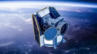
Satellite technology is constantly evolving. The next generation of weather satellites promises even greater benefits. Newer missions are being equipped with higher-resolution imagers, providing more detailed views of developing storms. Advanced instruments like lightning mappers, first flown on geostationary satellites, can detect lightning in real-time, serving as a key indicator of a storm's severity. With the launch of INSAT-3DS in 2024, India continues to upgrade its observational capabilities, ensuring more precise data for its weather models. As technology improves and more data becomes available, the accuracy of both short-term warnings and long-term climate monitoring will only increase, making our world safer and more predictable.