


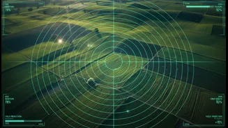



A Partnership in Orbit
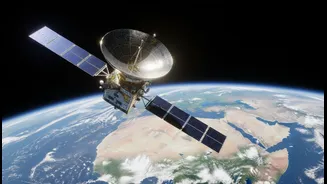
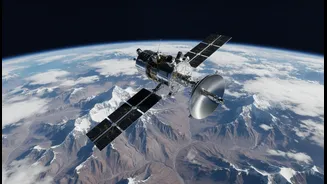
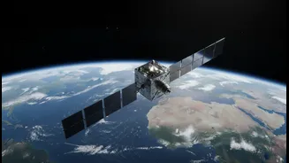
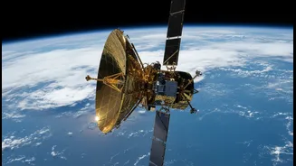
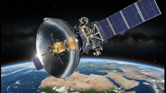
NISAR, which stands for NASA-ISRO Synthetic Aperture Radar, is a joint Earth observation mission between the Indian Space Research Organisation (ISRO) and the U.S. National Aeronautics and Space Administration (NASA). It represents a monumental collaboration,
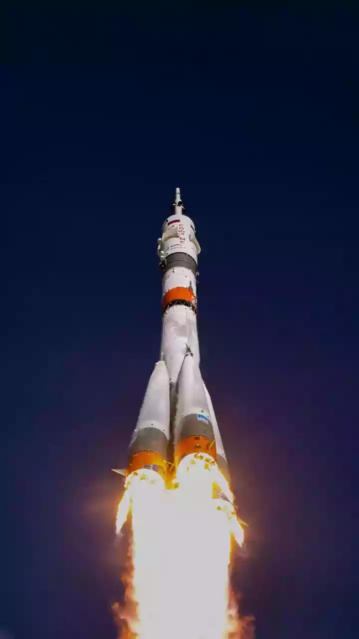
combining American and Indian expertise to create one of the most advanced Earth-imaging satellites ever built. Under the agreement, NASA provided the L-band radar, a high-rate communication system, and GPS receivers, while ISRO contributed the S-band radar, the spacecraft bus, and the GSLV launch vehicle. This partnership leverages the strengths of both agencies to tackle global challenges like climate change and natural hazards.
The All-Seeing Radar
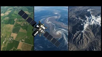
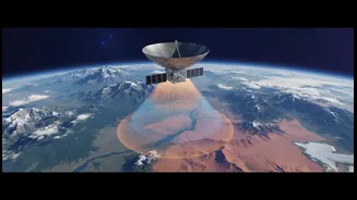
What makes NISAR so special is its advanced radar technology. Unlike optical satellites that need clear skies and daylight, NISAR uses Synthetic Aperture Radar (SAR). SAR works by sending microwave pulses to the Earth's surface and capturing the echoes. This allows it to “see” through clouds, fog, and darkness, providing reliable data 24/7. NISAR is the first satellite mission to use two different radar frequencies—L-band and S-band. The L-band can penetrate through dense forest canopies to see the ground beneath, while the S-band is excellent for monitoring things like soil moisture. By combining these, NISAR will produce incredibly detailed, high-resolution images, mapping the entire globe every 12 days.
From Early Warning to Rapid Response
The true power of NISAR lies in its application for disaster preparedness. By repeatedly scanning the same locations, it can detect tiny changes in the Earth's surface over time. For earthquakes, it can identify areas of crustal deformation where stress is building up, offering clues to future seismic risk. After a quake, it can map ground shifts and damage to infrastructure within hours, guiding rescue teams to the hardest-hit areas. For landslides, especially in vegetated regions like the Western Ghats, the radar can peer through the canopy to detect subtle slope movements that might signal an impending slide. This kind of data moves disaster management from a reactive to a more proactive and predictive stance.
Why NISAR Matters for India
For a country as geographically diverse and prone to natural disasters as India, NISAR is a game-changer. In flood-prone regions like the Gangetic plains or coastal areas, the satellite can accurately map the extent of inundation, even under thick cloud cover during a cyclone or heavy monsoon. This is crucial for planning relief efforts and assessing crop damage. For the fragile Himalayan ecosystem, NISAR will monitor glacier retreat, glacial lake stability, and snow depth, which are vital for understanding water security and avalanche risks. The data will also be invaluable for managing agricultural resources by tracking soil moisture and monitoring the health of forests. All data from the mission will be freely and openly available, empowering Indian scientists, policymakers, and disaster management agencies with unprecedented insights.